
Reef Support
Platform for marine conservation operations
Reef Support builds practical software for conservation teams first. MariMap keeps monitoring and reporting reliable, while Professional extends into evidence governance for MRV and disclosure programs.
Conservation first. Evidence ready when needed.
MariMap connects planning, field capture, QA and QC, map context, and reporting in one workflow. Teams can run repeatable monitoring programs and communicate progress clearly. When projects need formal verification and disclosure outputs, the same data can be packaged into structured, review ready evidence without changing field operations.
Role based value blocks
Different teams share one platform while keeping responsibilities clear.
Field teams and rangers
Run consistent surveys and sync complete observation packages without changing field routines.
MRV consultants and implementers
Maintain evidence lineage, conservative assumptions, and reusable export packages across projects.
Disclosure and reporting teams
Review readiness by framework section and publish outputs with explicit scope, caveats, and traceability.
Explore the platform
Discover the tools and workflows that power marine conservation operations.
MariMap: operations and governance
MariMap is the operations hub for marine conservation programs. Manage projects, sites, surveys, and evidence quality with GIS context and reporting built for transparent communication.
Project, site, and team management with role based permissions
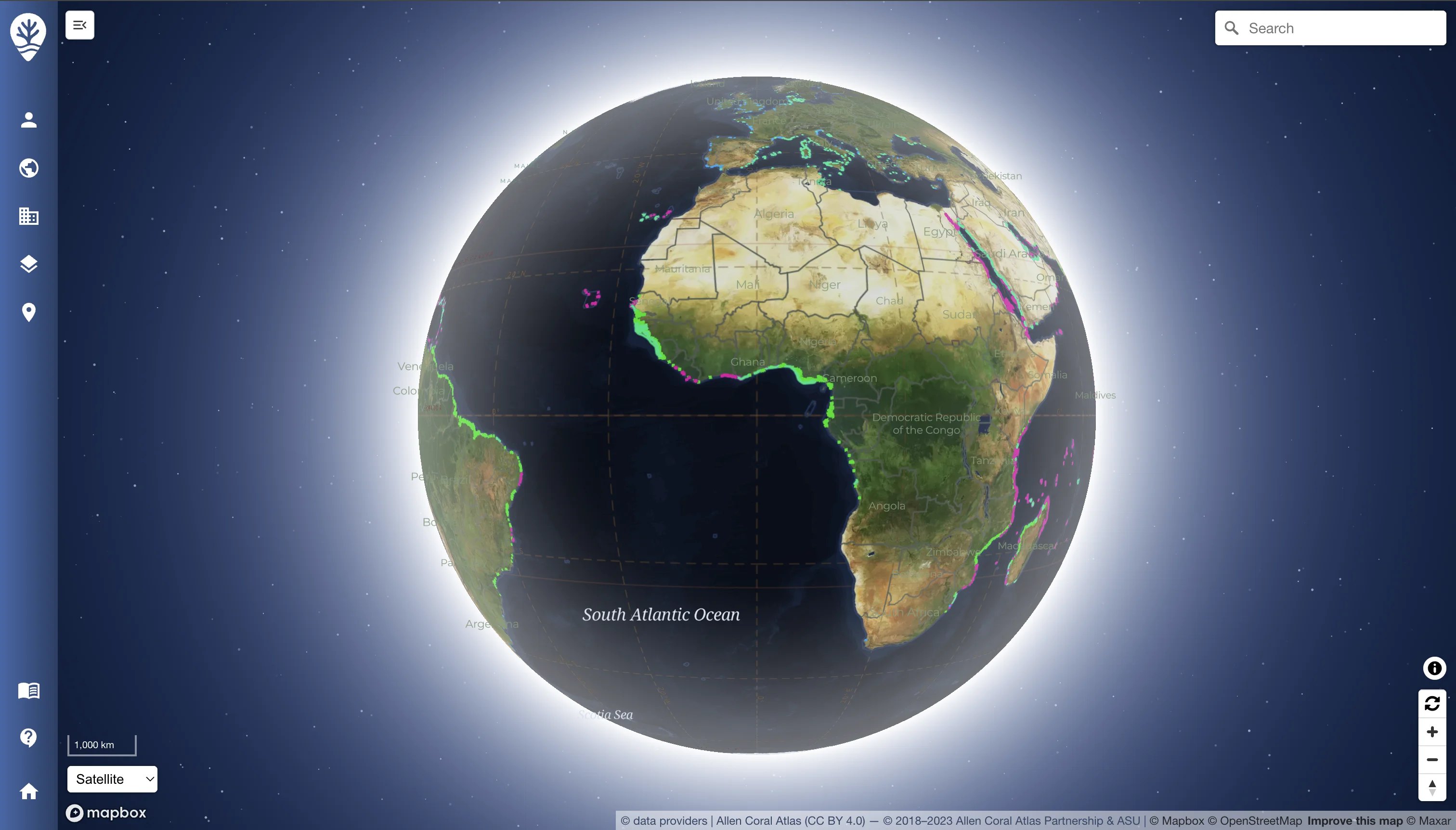
Site and project dashboards with map context for plans and surveys
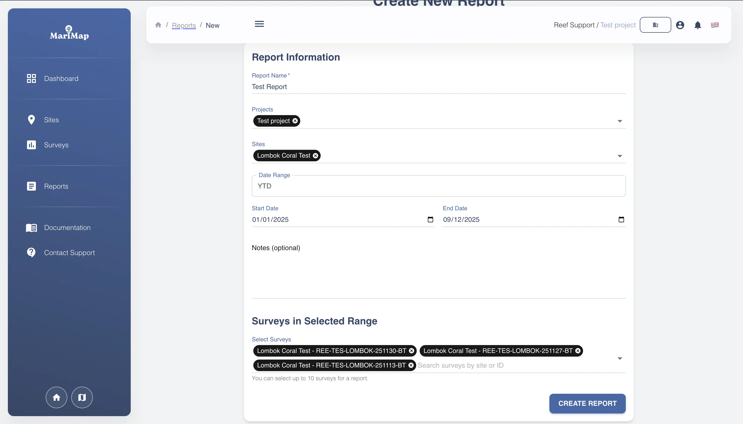
Report builder that compiles selected surveys and notes into one export
Access controls for administrators, coordinators, and field teams
Planning and survey design
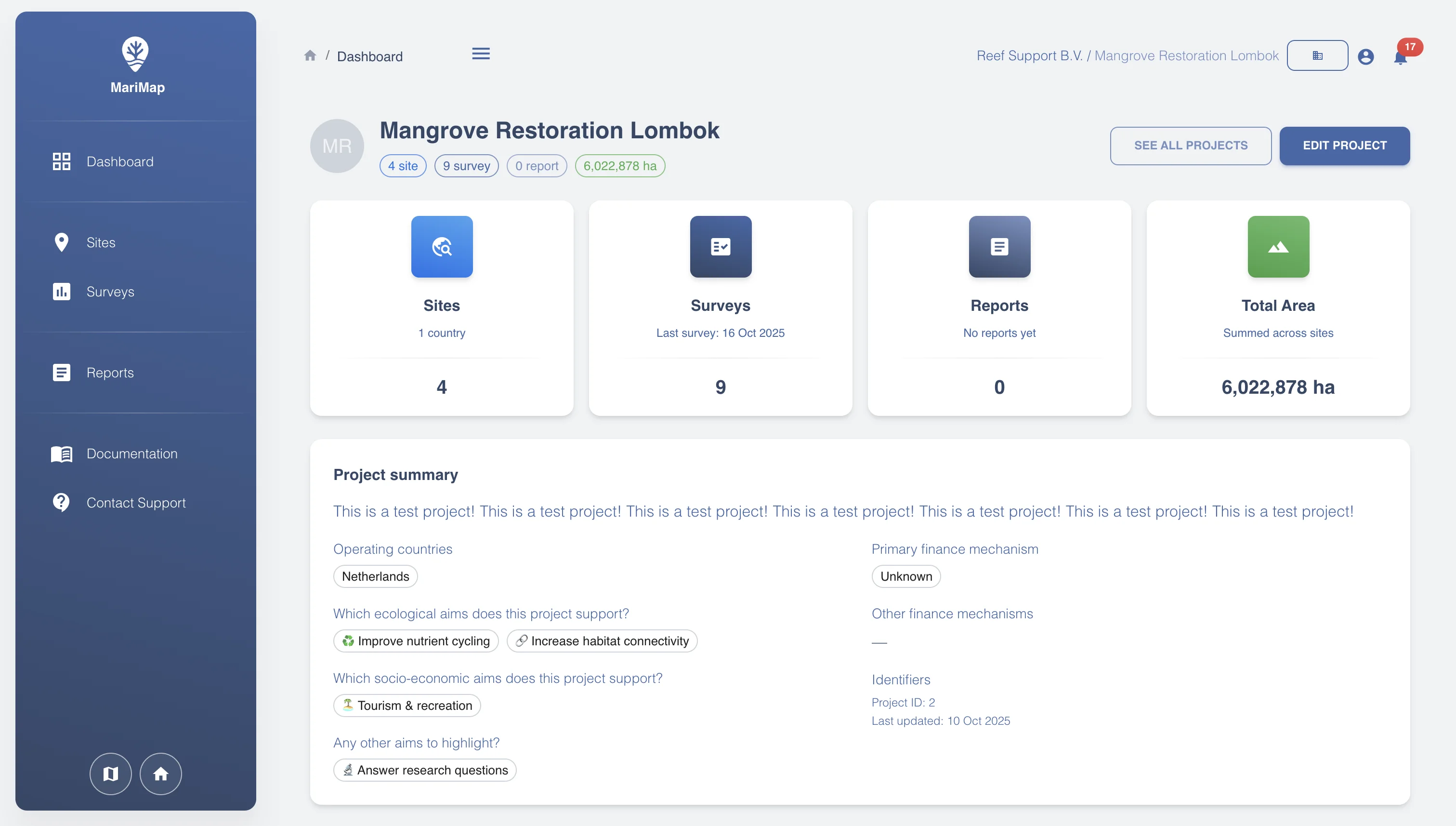
Design protocols, recurrence, and required evidence so field teams collect consistent observations, media, and metadata every cycle.
Protocol templates for benthic transects, fish belts, and tree growth/DBH across coral, seagrass, and mangrove sites
Plan geometry, recurrence, and scheduling to keep collections on track
Required photos, videos, and sensor fields with GPS/depth metadata
QA/QC prompts and validations before data syncs
Insights and reporting
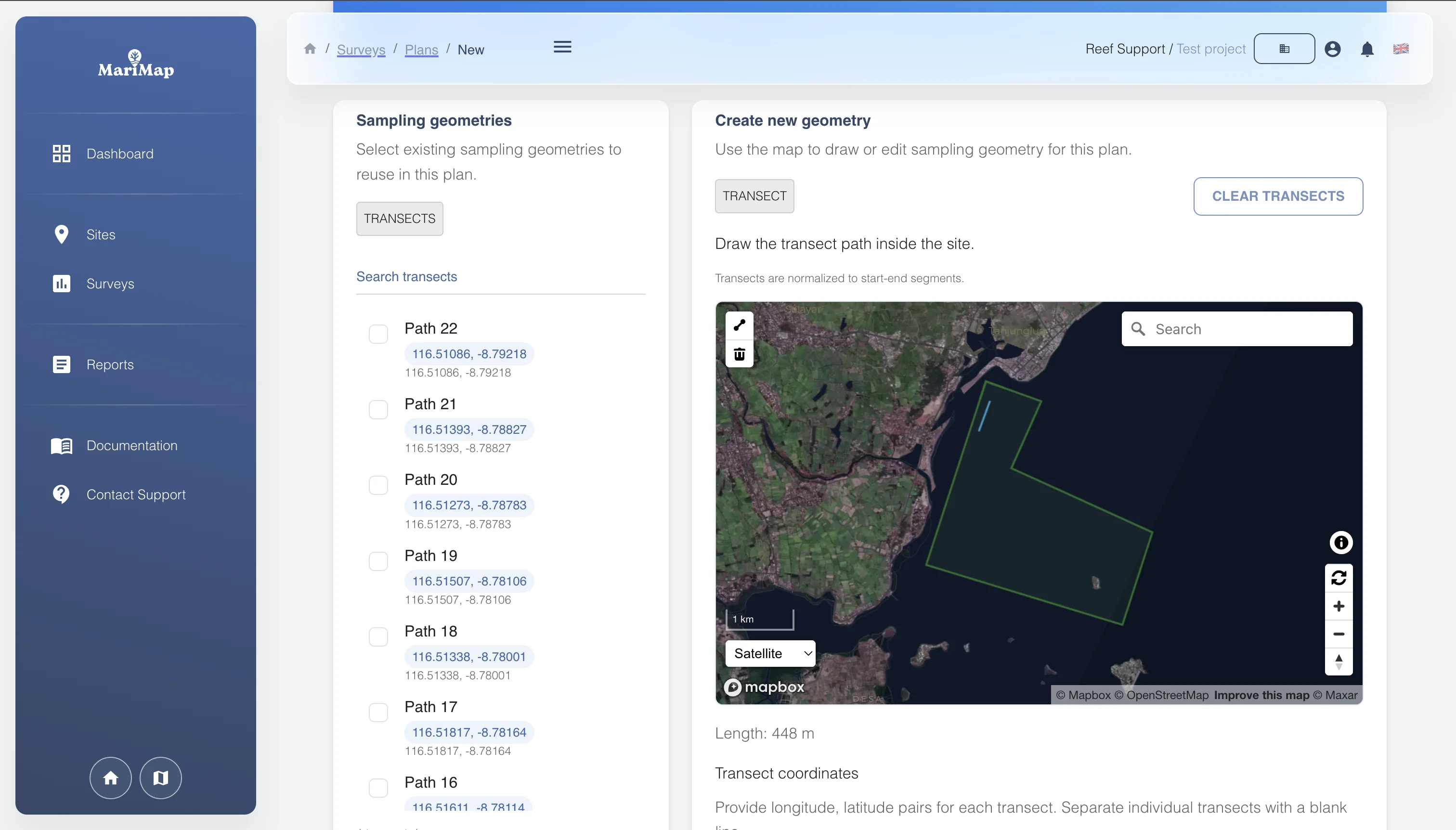
Dashboards and analytics turn survey and satellite data into decision support. Teams can track coverage, compare periods, and publish reports with clear provenance.
Snapshot cards for sites, surveys, reports, and area per project
Filters and map context to review plans, coverage, and survey status
Report creator with date ranges and selected surveys for exports
Metadata retained with survey selections for traceability
MariField: built for field crews
MariField is the offline mobile companion for data capture, GPS media, and reliable synchronization into MariMap.
Offline survey collection for coral, mangrove, and seagrass protocols
Large-button interfaces designed for divers and rangers wearing gloves
Instant media capture with auto-tagged GPS and depth metadata
Sync and validation workflows that push clean data straight into MariMap
Close the loop from field to reporting
MariField feeds validated observations into MariMap so teams can review results, manage evidence quality, and publish outputs without manual copy and paste.
Configure protocols once in MariMap and deploy them to field devices
Sync observations, photos, and measurements into one governed workspace
Surface trends, anomalies, and governance checks across projects
Start a joint pilotData flow illustration placeholder
Replace this placeholder with a product mockup.
Standards and alignment
MariMap supports conservative, traceable outputs aligned with biodiversity and disclosure workflows including TNFD, CSRD, and ESRS.