
Use case
Tourism & Rangers
Fast, offline workflows for rangers and operators to contribute observations.
Problem
Tourism operators and ranger teams work with short windows and limited connectivity. MariMap keeps workflows simple and verifiable.
Operational needs
- Offline capture on boats or remote sites
- GPS and time-stamped media
- Short training and validation prompts
- Easy summaries for partners
Approach
How ranger and tourism teams operate today.
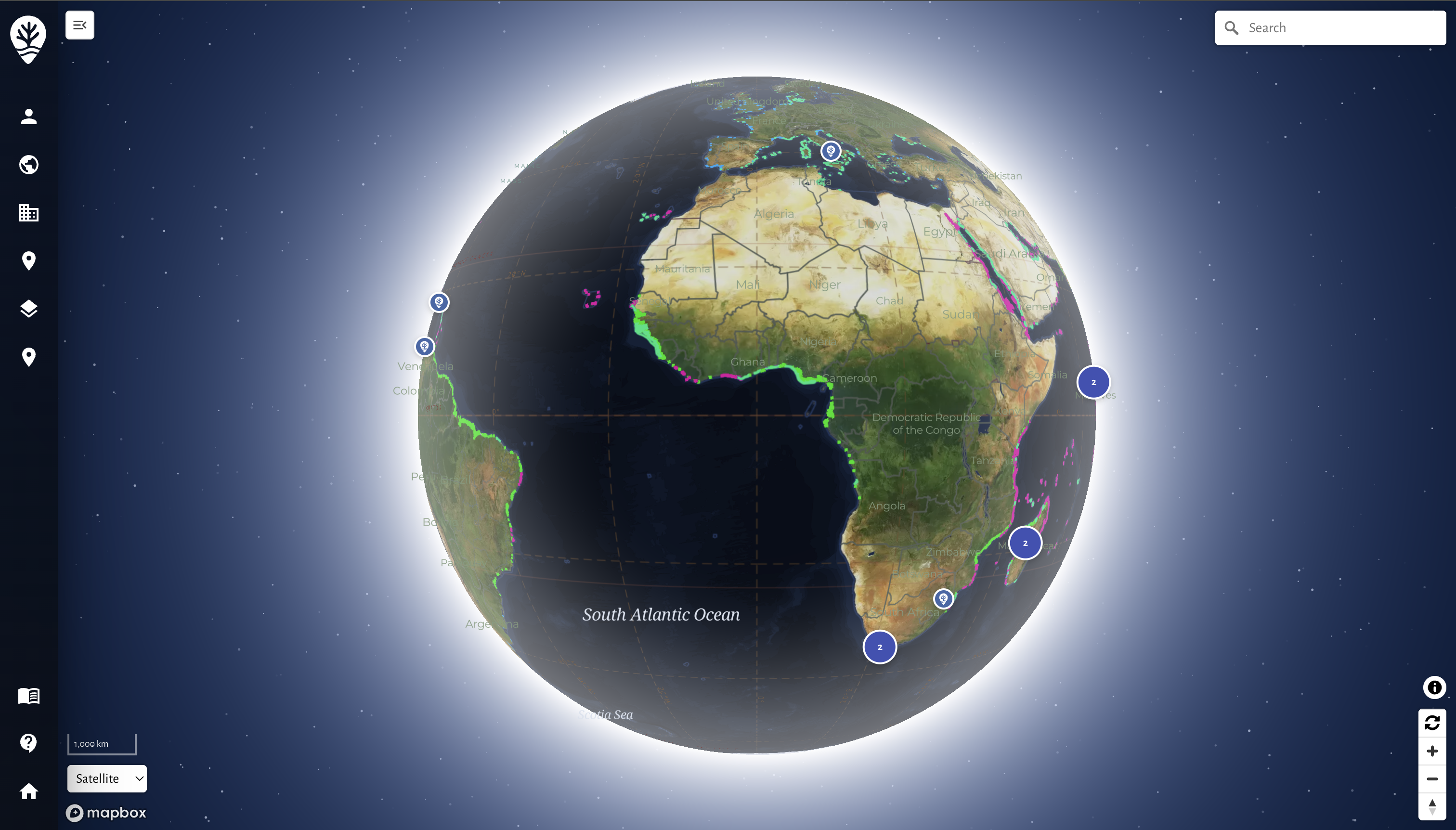
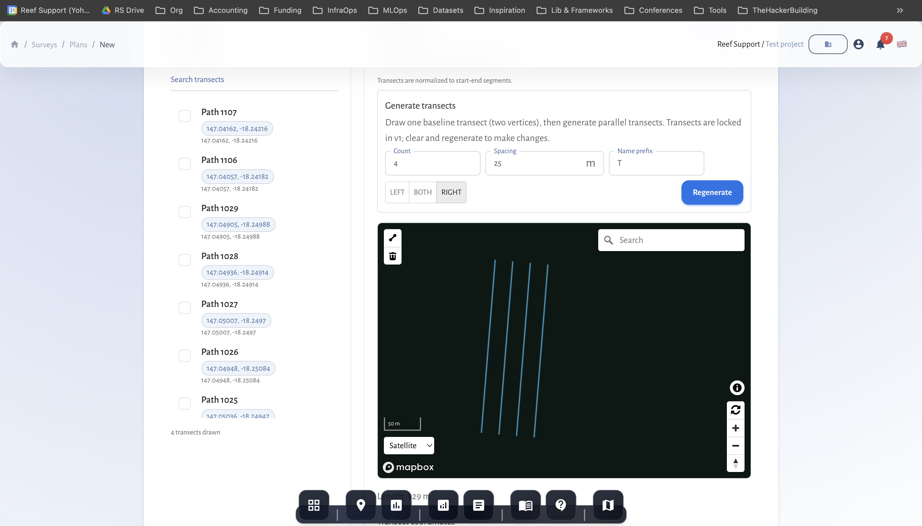
- Load MariField with approved protocols
- Collect observations during dives or patrols
- Sync, review, and finalize data
- Publish site snapshots for partners
Outcome
Outputs you can share now.
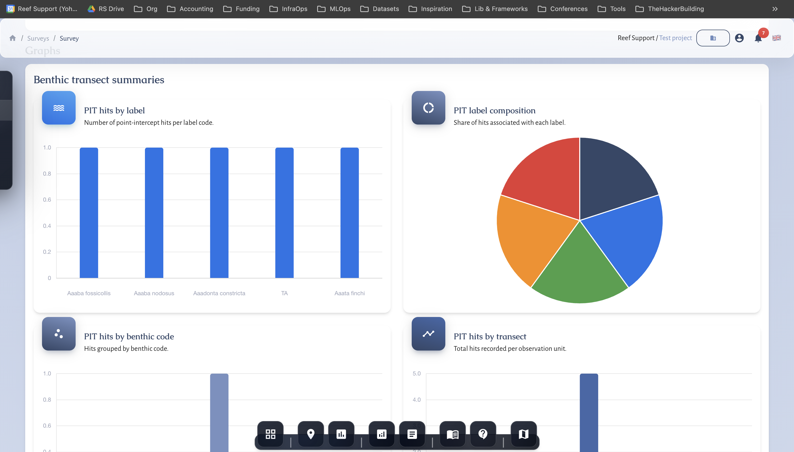
- Site snapshots and roll-ups
- Photo evidence galleries
- Monthly summary reports
- Partner updates with maps and media
Related guides
Step-by-step walkthroughs that match this workflow and your reporting needs.
Getting Started with MariMap
MariMap is a marine conservation platform that connects projects, sites, surveys, and reporting in one workspace. Start by selecting your organization, creating a project, and adding a site boundary so the map, surveys, and analytics all point to real places. From there you can plan surveys, collect field observations, and review environmental context in Analytics. This guide walks through the first steps in the marine monitoring software so your team can work consistently from day one.
Managing Teams and Permissions
MariMap supports multi-organization projects with clear team roles and permissions. Use the Organization settings to invite team members, assign Admin or Member roles, and manage access to marine data. This guide walks through the team workflow in MariMap so collaboration stays secure, organized, and audit-ready.
Run a pilot with MariMap
We run scoped pilots with clear timelines and data requirements. Tell us your habitat, team size, and reporting needs, and we will propose a realistic plan.