
Use case
Restoration Projects
Track restoration units, survival, and habitat change across nursery and outplant sites.
Problem
Restoration teams manage nurseries, outplants, and monitoring schedules across large geographies. MariMap keeps site maps, unit registries, and field evidence in one system.
Operational needs
- Site and unit registry with geospatial context
- Consistent survival and growth monitoring
- Photo evidence tied to units and plots
- Reporting that ties costs to outcomes
Approach
Typical restoration monitoring flow.
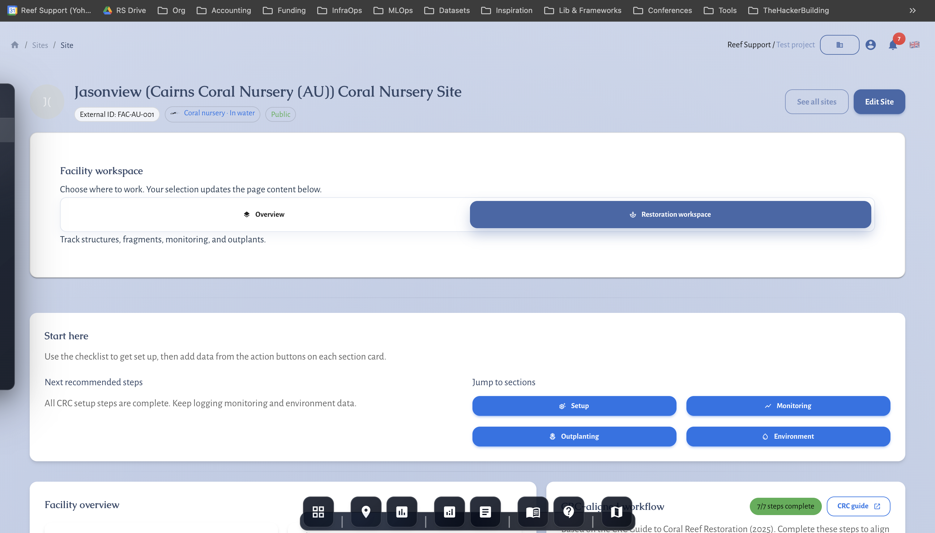
- Register sites, nurseries, and outplant units
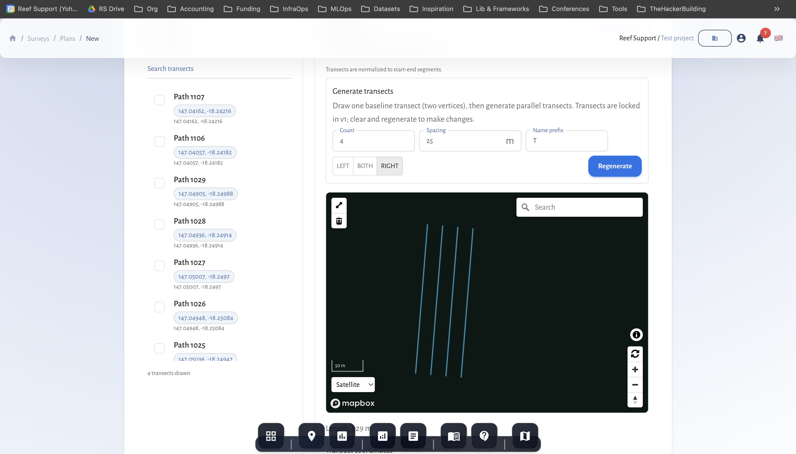
- Collect monitoring observations in MariField
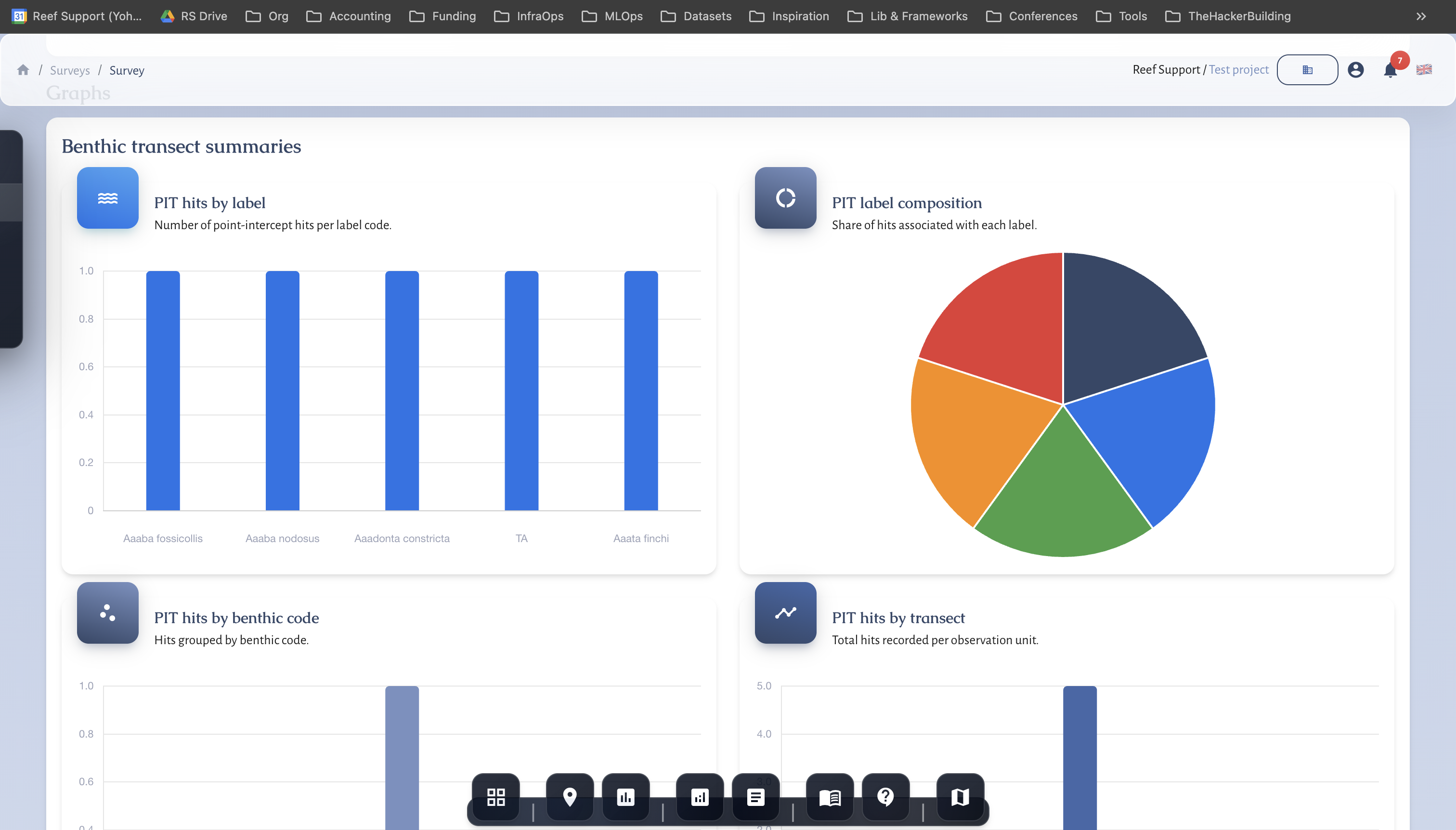
- Review, QA/QC, and compute indicators
- Export reports and share dashboards
Outcome
Evidence outputs you can publish now.
- Survival and growth summaries
- Site maps with before and after context
- Funder-ready reports
- Data exports for partners
Related guides
Step-by-step walkthroughs that match this workflow and your reporting needs.
Getting Started with MariMap
MariMap is a marine conservation platform that connects projects, sites, surveys, and reporting in one workspace. Start by selecting your organization, creating a project, and adding a site boundary so the map, surveys, and analytics all point to real places. From there you can plan surveys, collect field observations, and review environmental context in Analytics. This guide walks through the first steps in the marine monitoring software so your team can work consistently from day one.
Setting Up Your First Project and Site
Projects in MariMap organize your marine conservation work, while sites define the exact locations where surveys happen. This guide shows how to create a project with the right focus and privacy settings, then add a site with accurate boundaries or coordinates. You will see the exact wizard steps used in MariMap so your team stays organized from day one and your marine conservation project management stays consistent across sites.
Planning Surveys and Data Collection
Survey planning in MariMap keeps marine data collection consistent across teams and sites. Use survey plans to define protocols, sampling geometry, and recurrence schedules before field work starts. Then create surveys from those plans so your data grids, methods, and units are ready in advance. This guide walks through the planning workflow used in MariMap today.
Coral Reef Monitoring in MariMap
MariMap supports coral reef monitoring with benthic transects, fish transects, and benthic image surveys. These coral survey methods help teams track reef condition, coral cover, and fish community trends over time. This guide explains how to select the right protocol, configure method parameters, and enter coral reef monitoring data in MariMap. It also shows how to connect surveys with heat stress context from satellite data.
Run a pilot with MariMap
We run scoped pilots with clear timelines and data requirements. Tell us your habitat, team size, and reporting needs, and we will propose a realistic plan.