
Use case
Protected Area Managers
Baseline, patrol, and report across MPAs with consistent habitat indicators.
Problem
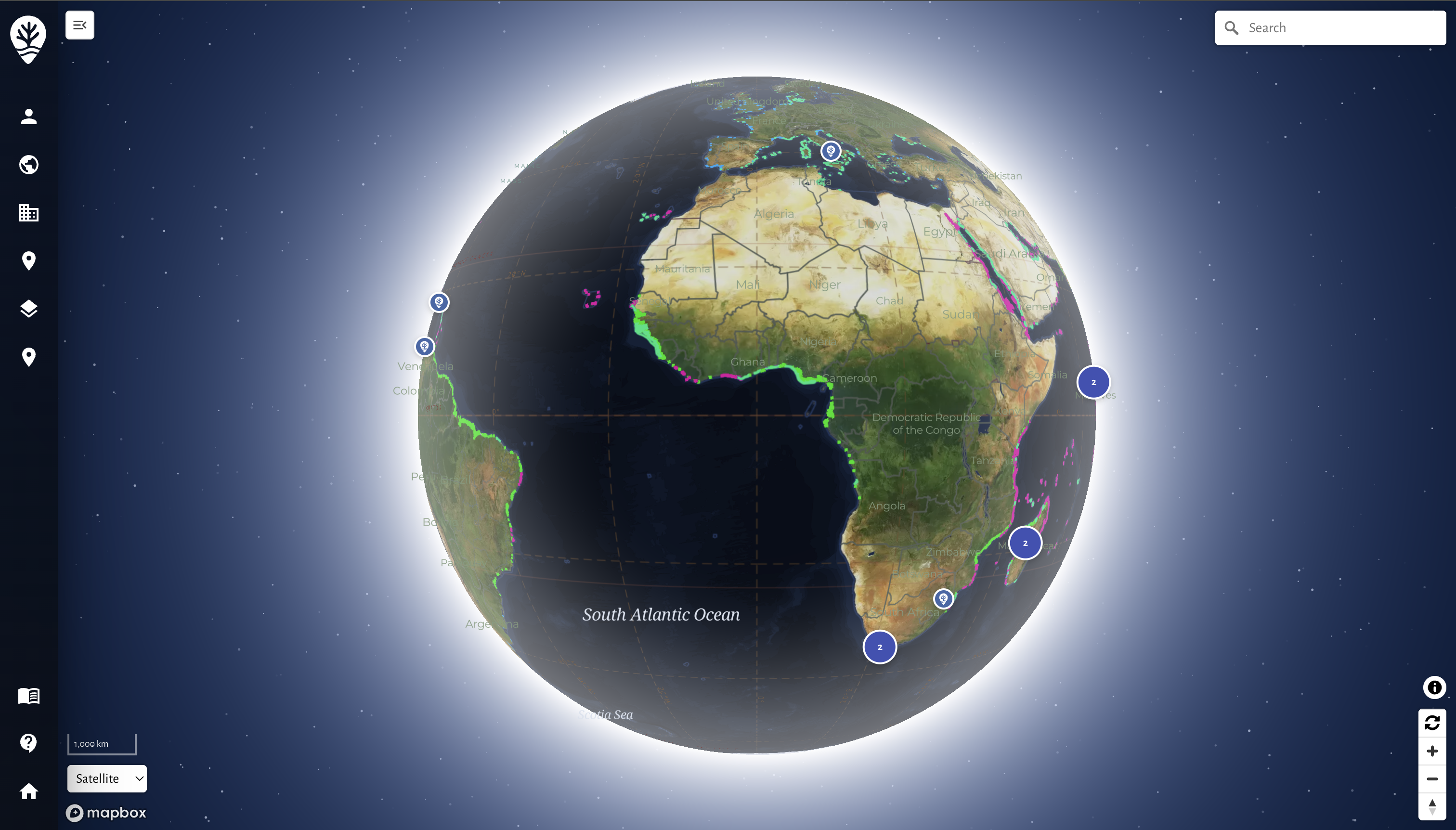
Protected area managers must provide status updates to regulators and communities while coordinating ranger teams. MariMap combines survey data, patrol logs, and spatial context.
Operational needs
- Baseline indicators per habitat and zone
- Patrol logs with geotagged media
- Simple workflows for ranger teams
- Repeatable reporting cycles
Approach
How MPA teams operate today.
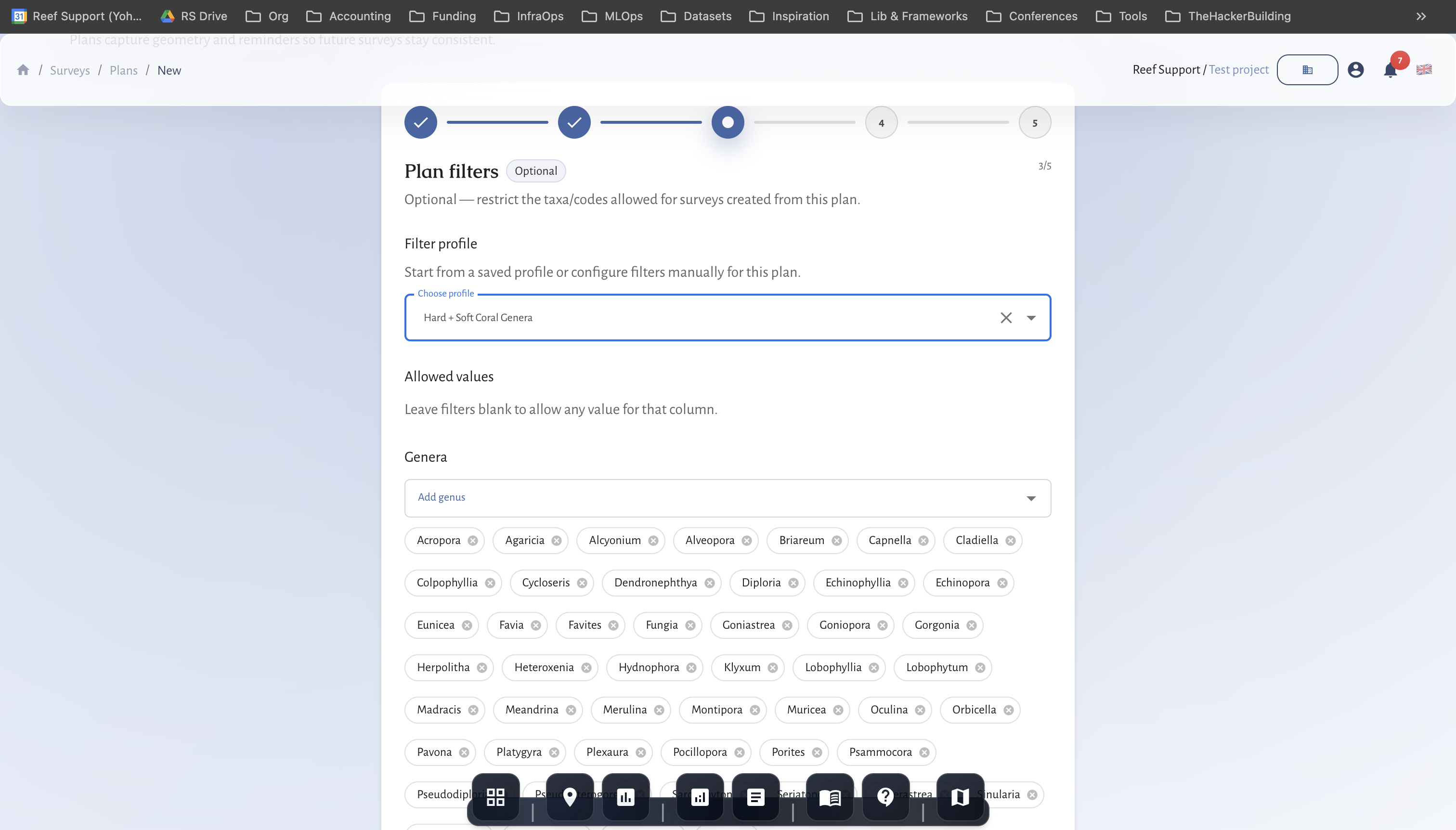
- Set baselines and monitoring schedules
- Collect patrol logs and habitat surveys
- Review and validate data in MariMap
- Publish reports for authorities and partners
Outcome
Outputs available today.
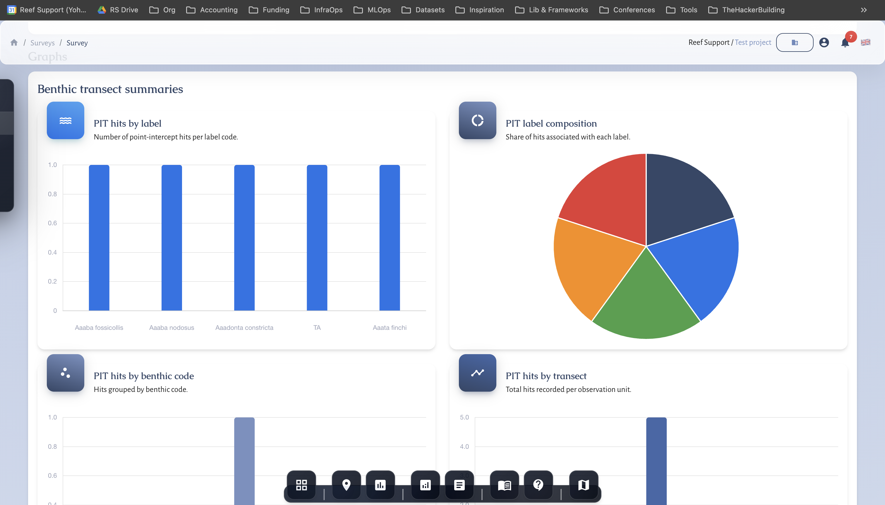
- MPA status dashboards and charts
- Incident timelines with media evidence
- Quarterly or annual reports
- Data exports for agencies
Related guides
Step-by-step walkthroughs that match this workflow and your reporting needs.
Getting Started with MariMap
MariMap is a marine conservation platform that connects projects, sites, surveys, and reporting in one workspace. Start by selecting your organization, creating a project, and adding a site boundary so the map, surveys, and analytics all point to real places. From there you can plan surveys, collect field observations, and review environmental context in Analytics. This guide walks through the first steps in the marine monitoring software so your team can work consistently from day one.
Setting Up Your First Project and Site
Projects in MariMap organize your marine conservation work, while sites define the exact locations where surveys happen. This guide shows how to create a project with the right focus and privacy settings, then add a site with accurate boundaries or coordinates. You will see the exact wizard steps used in MariMap so your team stays organized from day one and your marine conservation project management stays consistent across sites.
Coral Reef Monitoring in MariMap
MariMap supports coral reef monitoring with benthic transects, fish transects, and benthic image surveys. These coral survey methods help teams track reef condition, coral cover, and fish community trends over time. This guide explains how to select the right protocol, configure method parameters, and enter coral reef monitoring data in MariMap. It also shows how to connect surveys with heat stress context from satellite data.
Seagrass Monitoring in MariMap
MariMap supports seagrass monitoring using benthic transects, fish transects, and benthic image surveys configured for seagrass sites. These seagrass survey methods help teams track seagrass cover, habitat composition, and associated fauna over time. This guide shows how to set up seagrass monitoring plans, enter data, and keep monitoring consistent across seasons.
Run a pilot with MariMap
We run scoped pilots with clear timelines and data requirements. Tell us your habitat, team size, and reporting needs, and we will propose a realistic plan.