
MariMap
MariMap คำแนะนำ
เรียนรู้วิธีตั้งค่าโครงการ วางแผนการสำรวจ ติดตามแหล่งที่อยู่อาศัย และรายงานผลลัพธ์ด้วย MariMap
คำแนะนำที่โดดเด่น
เริ่มต้นด้วยคำแนะนำที่แนะนำ จากนั้นสำรวจคำแนะนำเฉพาะไซต์และขั้นตอนการทำงานด้านล่าง
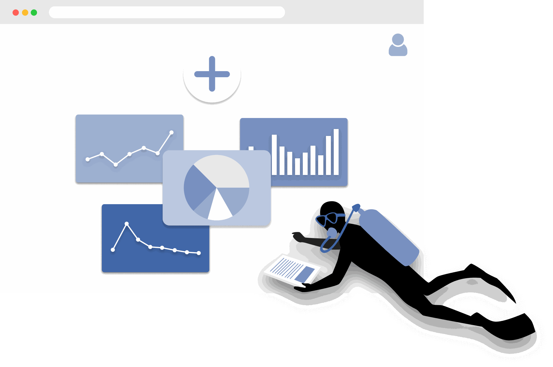
เริ่มต้นใช้งาน MariMap
platform guides
MariMap เป็นแพลตฟอร์มการอนุรักษ์ทางทะเลที่เชื่อมโยงโครงการ ไซต์ แบบสำรวจ และรายงานไว้ในพื้นที่ทำงานเดียว เริ่มจากเลือกองค์กร สร้างโครงการ และเพิ่มขอบเขตไซต์เพื่อให้แผนที่ แบบสำรวจ และการวิเคราะห์อ้างอิงพื้นที่จริง จากนั้นคุณสามารถวางแผนสำรวจ เก็บบันทึกภาคสนาม และดูบริบทสิ่งแวดล้อมใน Analytics คู่มือนี้พาคุณผ่านขั้นตอนแรกในซอฟต์แวร์ติดตามทางทะเลเพื่อให้ทีมทำงานได้สอดคล้องตั้งแต่วันแรก
The Complete Guide to Marine Restoration Monitoring
reference guides
Marine restoration monitoring tracks whether restoration interventions are producing measurable ecological outcomes. Key metrics include fragment survival rate, growth rate, coral cover expansion, genetic diversity, and cost-effectiveness. Effective monitoring programs combine field survey methods (transects, quadrats, fragment tracking) with environmental context from satellite data and standardized reporting. This guide covers the full monitoring workflow from metric selection through evidence packaging for funder reporting and additionality claims.
Open Data Sources for Marine Conservation: A Practical Guide
reference guides
Marine conservation projects can access a wide range of open data sources to complement field surveys with environmental context, species records, and spatial analysis. Key sources include CMEMS for ocean conditions, NOAA Coral Reef Watch for thermal stress, Sentinel-2 for satellite imagery, OBIS for species occurrences, WoRMS for taxonomy, and the IUCN Red List for conservation status. MariMap auto-integrates many of these sources at the site level. This guide covers what each source provides, how to access it, and how to combine multiple sources for site-level analysis.
Seagrass Monitoring: Methods, Metrics, and Best Practices
ecosystem guides
Seagrass meadows are critical marine ecosystems that provide carbon sequestration, fisheries habitat, and coastal protection. Monitoring seagrass requires repeatable methods that capture cover, shoot density, canopy height, species composition, and sediment carbon. This comprehensive guide covers the full range of monitoring methodologies (quadrat, transect, remote sensing), key metrics for health and blue carbon assessment, common challenges like turbidity and seasonal variation, and best practices from the scientific literature.
Blue Carbon Field MRV: What Data Do You Actually Need?
reference guides
Blue carbon MRV (Monitoring, Reporting, and Verification) requires specific field data to quantify carbon stocks and stock changes in mangrove, seagrass, and salt marsh ecosystems. The required data depends on the ecosystem type and the carbon credit methodology being followed (VM0033, Plan Vivo, Gold Standard). Core requirements include above-ground biomass measurement, below-ground biomass estimation, soil carbon core sampling, and satellite-derived extent mapping. This guide explains what field data is needed for each ecosystem, how to align with major methodologies, and common failures to avoid.
Coral Reef Monitoring: Methods, Metrics, and Best Practices
ecosystem guides
Coral reef monitoring combines standardized field methods (PIT, LIT, fish belt transect, bleaching assessment, photo quadrat) with environmental data to track reef health over time. Key metrics include coral cover, species richness, fish biomass, rugosity, and bleaching prevalence. This comprehensive guide covers methodology selection, metric interpretation, monitoring program design, common challenges, and best practices drawn from GCRMN, Reef Check, and AGRRA protocols.
Mangrove Monitoring: Methods, Metrics, and Best Practices
ecosystem guides
Mangrove monitoring combines plot-based field surveys (DBH measurement, canopy assessment, soil coring) with remote sensing to track forest condition, carbon stocks, and ecosystem services. Key metrics include tree density, basal area, above-ground biomass, soil carbon, and canopy cover change. This comprehensive guide covers monitoring methodologies, metric interpretation, blue carbon assessment, program design, common challenges, and best practices from Kauffman and Donato protocols and CIFOR methods.
Ecosystem Guides
การติดตามแนวปะการังใน MariMap
ecosystem guides
MariMap สนับสนุนการตรวจสอบแนวปะการังด้วยการตัดผ่านหน้าดิน การตัดผ่านของปลา และการสำรวจภาพหน้าดิน วิธีการสำรวจปะการังเหล่านี้ช่วยให้ทีมติดตามสภาพแนวปะการัง พื้นที่ปกคลุมของปะการัง และแนวโน้มของชุมชนปลาเมื่อเวลาผ่านไป คู่มือนี้จะอธิบายวิธีเลือกโปรโตคอลที่ถูกต้อง กำหนดค่าพารามิเตอร์วิธีการ และป้อนข้อมูลการติดตามแนวปะการังใน MariMap นอกจากนี้ยังแสดงวิธีการเชื่อมโยงแบบสำรวจกับบริบทความเครียดจากความร้อนจากข้อมูลดาวเทียม
การตรวจสอบหญ้าทะเลใน MariMap
ecosystem guides
MariMap รองรับการตรวจสอบหญ้าทะเลโดยใช้การตัดผ่านหน้าดิน การตัดผ่านของปลา และการสำรวจภาพหน้าดินที่กำหนดค่าสำหรับไซต์หญ้าทะเล วิธีการสำรวจหญ้าทะเลเหล่านี้ช่วยให้ทีมงานติดตามหญ้าทะเลที่ปกคลุม องค์ประกอบของชุมชน และสัตว์ที่เกี่ยวข้องเมื่อเวลาผ่านไป คู่มือนี้แสดงวิธีตั้งค่าแผนการติดตามหญ้าทะเล ป้อนข้อมูล และบันทึกการวัดหญ้าทะเลเพิ่มเติมในบันทึกและรายงาน
การติดตามตรวจสอบป่าชายเลนใน MariMap
ecosystem guides
MariMap สนับสนุนการติดตามตรวจสอบป่าชายเลนด้วยการสำรวจการเจริญเติบโตของต้นไม้และการสำรวจการสังเกตสัตว์ ใช้แบบสำรวจการเจริญเติบโตของต้นไม้เพื่อจับ DBH ความสูง สุขภาพ และชนิดพันธุ์ทั่วทั้งแปลง และใช้การสังเกตสัตว์เพื่อบันทึกสัตว์ป่าที่เกี่ยวข้องในพื้นที่ป่าชายเลน คู่มือนี้จะอธิบายการจัดทำแผนการติดตามตรวจสอบป่าชายเลน การป้อนข้อมูล และการรักษาระเบียบปฏิบัติให้สอดคล้องกันในทีม
Protocol Guides
Benthic Transect Methods: PIT and LIT in MariMap
protocol guides
MariMap supports two standard benthic transect methods for coral reef monitoring: Point Intercept Transect (PIT) and Line Intercept Transect (LIT). Both methods measure benthic cover and substrate composition along fixed transect lines, but they differ in how observations are recorded. PIT records the substrate at fixed intervals along the transect, while LIT measures the continuous length of each substrate category. This guide explains how to configure both methods in MariMap, collect data in MariField, and interpret benthic cover results.
Fish Belt Transect Surveys in MariMap
protocol guides
Fish belt transect surveys in MariMap capture fish abundance, size classes, biomass estimates, and trophic group composition along defined belt transects. The method complements benthic cover data by revealing how fish communities respond to reef condition changes. This guide covers setting up belt transect geometry, recording fish observations in MariField, understanding biomass calculations, and reviewing fish community trends in the MariMap dashboard.
Seagrass Quadrat Survey Methods in MariMap
protocol guides
Seagrass quadrat surveys in MariMap measure cover, shoot density, canopy height, species composition, and sediment characteristics within standardized sampling frames. The method supports three measurement scales for different levels of detail, from rapid assessments to comprehensive blue carbon monitoring. This guide explains how to configure quadrat geometry, record observations in MariField, assess epiphyte load and sediment type, and connect seagrass data to blue carbon estimation.
Platform Guides
การตั้งค่าโครงการและไซต์แรกของคุณ
platform guides
โครงการใน MariMap จัดระเบียบงานอนุรักษ์ทางทะเลของคุณ และไซต์ต่างๆ เป็นสถานที่เฉพาะที่คุณรวบรวมข้อมูลภาคสนาม คู่มือนี้จะแสดงวิธีสร้างโปรเจ็กต์โดยมุ่งเน้นที่การตั้งค่าความเป็นส่วนตัว จากนั้นจึงเพิ่มไซต์ที่มีขอบเขตหรือพิกัดที่ถูกต้อง คุณจะเห็นขั้นตอนของวิซาร์ดที่ใช้ใน MariMap เพื่อให้ทีมของคุณเป็นระเบียบตั้งแต่วันแรก
การวางแผนการสำรวจและการรวบรวมข้อมูล
platform guides
การวางแผนการสำรวจใน MariMap ช่วยให้การรวบรวมข้อมูลทางทะเลสอดคล้องกันระหว่างทีมและไซต์ต่างๆ ใช้แผนการสำรวจเพื่อกำหนดโปรโตคอล เรขาคณิตการสุ่มตัวอย่าง และกำหนดการการเกิดซ้ำก่อนเริ่มงานภาคสนาม จากนั้นสร้างแบบสำรวจจากแผนเหล่านั้นเพื่อให้ตารางข้อมูล วิธีการ และหน่วยของคุณพร้อมล่วงหน้า คู่มือนี้จะอธิบายขั้นตอนการวางแผนที่ใช้ใน MariMap ในปัจจุบัน
ทำความเข้าใจข้อมูลดาวเทียมและสิ่งแวดล้อมใน MariMap
platform guides
MariMap ให้ข้อมูลดาวเทียมและสิ่งแวดล้อมจาก NOAA Coral Reef Watch และ Copernicus Marine Service ซึ่งรวมถึง sea surface temperature, salinity, chlorophyll, pH, currents และ heat stress indicators คู่มือนี้อธิบายว่ามีข้อมูลอะไรบ้าง วิธีอ่านกราฟและ condition categories และวิธีใช้บริบทสิ่งแวดล้อมในการตัดสินใจด้านการอนุรักษ์ทางทะเล แหล่งข้อมูลทั้งหมดถูกอ้างอิงและเชื่อมโยงไว้ในหน้าอ้างอิงของ MariMap
การสร้างรายงานสำหรับผู้ให้ทุนและหน่วยงานกำกับดูแล
platform guides
เครื่องมือสร้างรายงานของ MariMap ช่วยให้คุณรวบรวมแบบสำรวจ บันทึก และข้อมูลที่เลือกไว้ลงในรายงานระดับมืออาชีพสำหรับผู้ให้ทุน หน่วยงานกำกับดูแล หรือพันธมิตร เลือกโครงการและไซต์ กรองตามสถานะการสำรวจและช่วงวันที่ และตรวจสอบตัวอย่างรายงานก่อนแชร์ คู่มือนี้จะอธิบายวิธีสร้างรายงาน ติดตามความคืบหน้า และจัดทำรายงานให้สอดคล้องกันตลอดรอบการติดตาม
การจัดการทีมและการอนุญาต
platform guides
MariMap รองรับโครงการหลายองค์กรโดยมีบทบาทและสิทธิ์ของทีมที่ชัดเจน ใช้การตั้งค่าองค์กรเพื่อเชิญสมาชิกในทีม กำหนดบทบาทผู้ดูแลระบบหรือสมาชิก และจัดการการเข้าถึงข้อมูลทางทะเล คู่มือนี้จะอธิบายขั้นตอนการทำงานของทีมใน MariMap เพื่อให้การทำงานร่วมกันของคุณปลอดภัยและเป็นระเบียบ
Data Export Formats in MariMap
platform guides
MariMap supports seven data export formats: Darwin Core Archive (DwC-A), GCRMN, GeoJSON, CSV, Shapefile, PDF, and Excel. Each format serves different audiences and use cases, from publishing biodiversity records to GBIF to sharing formatted reports with funders. This guide explains what each format contains, when to use it, how to export from the report builder, and how to choose the right format for your audience.
Offline Field Surveys with MariField
platform guides
MariField is designed for offline-first data collection in remote marine environments. Survey protocols, species lists, and site data sync to the mobile device before fieldwork, and all observations are stored locally during data collection. When connectivity returns, MariField syncs collected data back to MariMap with validation and conflict resolution. This guide covers preparation, underwater data collection, GPS and depth metadata, photo capture, sync behavior, and tips for remote field deployments.
Compliance & Reporting
TNFD & CSRD Reporting Workflow
compliance reporting
Use MariMap evidence to support Taskforce on Nature-related Financial Disclosures (TNFD), Corporate Sustainability Reporting Directive (CSRD), European Sustainability Reporting Standards (ESRS), and EU Taxonomy reporting. This guide outlines a practical workflow from baselines to disclosure-ready exports.
Reference Guides
ขั้นตอนการฟื้นฟูปะการังใน MariMap
reference guides
MariMap สนับสนุนขั้นตอนการฟื้นฟูปะการังสำหรับเรือนเพาะชำและห้องปฏิบัติการโดยการติดตามโครงสร้าง จีโนไทป์ ชิ้นส่วน และชุดการปลูกนอก สิ่งอำนวยความสะดวกในการฟื้นฟูได้รับการตั้งค่าเป็นไซต์สิ่งอำนวยความสะดวก และพื้นที่ทำงานการฟื้นฟูช่วยให้ทีมบันทึกการเติบโต สุขภาพ และความพร้อมในการปลูกในที่เดียว คู่มือนี้แสดงวิธีกำหนดค่าสิ่งอำนวยความสะดวกในการฟื้นฟู จัดการส่วนย่อย และติดตามผลลัพธ์ของการปลูกใน MariMap