
MariMap
MariMap मार्गदर्शिकाएँ
MariMap के साथ प्रोजेक्ट स्थापित करना, सर्वेक्षण की योजना बनाना, आवासों की निगरानी करना और परिणामों की रिपोर्ट करना सीखें।
विशेष रुप से प्रदर्शित मार्गदर्शिकाएँ
फ़ीचर्ड गाइड से शुरुआत करें, फिर नीचे दी गई साइट-विशिष्ट और वर्कफ़्लो गाइड देखें।
MariMap के साथ शुरुआत
platform guides
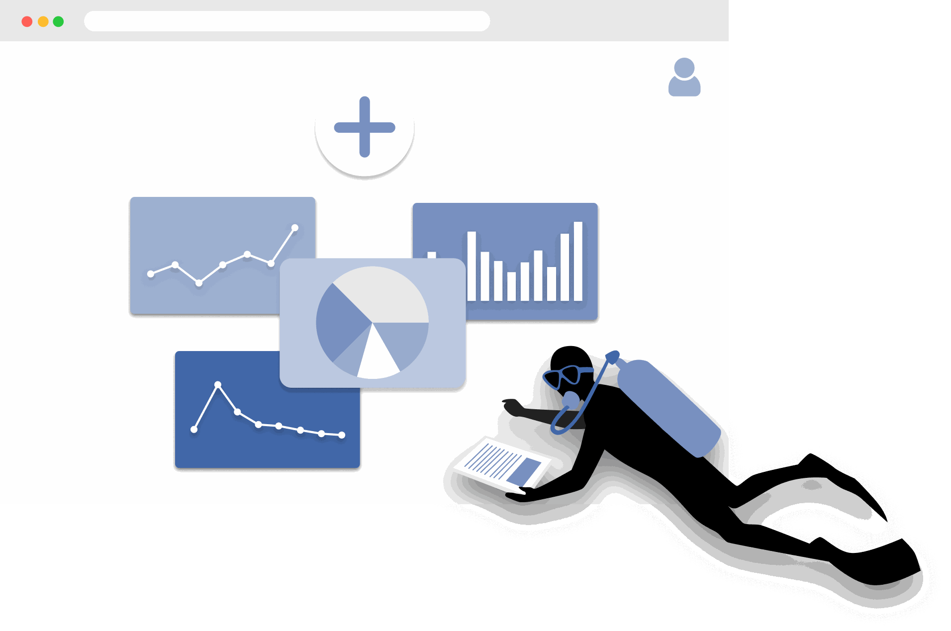
MariMap एक समुद्री संरक्षण प्लेटफ़ॉर्म है जो परियोजनाओं, साइटों, सर्वेक्षणों और रिपोर्टिंग को एक ही वर्कस्पेस में जोड़ता है। अपनी संस्था चुनकर, एक परियोजना बनाकर और साइट की सीमा जोड़कर शुरुआत करें ताकि नक्शा, सर्वेक्षण और एनालिटिक्स वास्तविक स्थानों को संदर्भित करें। इसके बाद आप सर्वेक्षण योजना बना सकते हैं, फील्ड अवलोकन एकत्र कर सकते हैं और Analytics में पर्यावरणीय संदर्भ देख सकते हैं। यह गाइड समुद्री निगरानी सॉफ्टवेयर के शुरुआती कदमों से आपको गुजारता है ताकि आपकी टीम पहले दिन से ही एक समान तरीके से काम करे।
The Complete Guide to Marine Restoration Monitoring
reference guides
Marine restoration monitoring tracks whether restoration interventions are producing measurable ecological outcomes. Key metrics include fragment survival rate, growth rate, coral cover expansion, genetic diversity, and cost-effectiveness. Effective monitoring programs combine field survey methods (transects, quadrats, fragment tracking) with environmental context from satellite data and standardized reporting. This guide covers the full monitoring workflow from metric selection through evidence packaging for funder reporting and additionality claims.
Open Data Sources for Marine Conservation: A Practical Guide
reference guides
Marine conservation projects can access a wide range of open data sources to complement field surveys with environmental context, species records, and spatial analysis. Key sources include CMEMS for ocean conditions, NOAA Coral Reef Watch for thermal stress, Sentinel-2 for satellite imagery, OBIS for species occurrences, WoRMS for taxonomy, and the IUCN Red List for conservation status. MariMap auto-integrates many of these sources at the site level. This guide covers what each source provides, how to access it, and how to combine multiple sources for site-level analysis.
Seagrass Monitoring: Methods, Metrics, and Best Practices
ecosystem guides
Seagrass meadows are critical marine ecosystems that provide carbon sequestration, fisheries habitat, and coastal protection. Monitoring seagrass requires repeatable methods that capture cover, shoot density, canopy height, species composition, and sediment carbon. This comprehensive guide covers the full range of monitoring methodologies (quadrat, transect, remote sensing), key metrics for health and blue carbon assessment, common challenges like turbidity and seasonal variation, and best practices from the scientific literature.
Blue Carbon Field MRV: What Data Do You Actually Need?
reference guides
Blue carbon MRV (Monitoring, Reporting, and Verification) requires specific field data to quantify carbon stocks and stock changes in mangrove, seagrass, and salt marsh ecosystems. The required data depends on the ecosystem type and the carbon credit methodology being followed (VM0033, Plan Vivo, Gold Standard). Core requirements include above-ground biomass measurement, below-ground biomass estimation, soil carbon core sampling, and satellite-derived extent mapping. This guide explains what field data is needed for each ecosystem, how to align with major methodologies, and common failures to avoid.
Coral Reef Monitoring: Methods, Metrics, and Best Practices
ecosystem guides
Coral reef monitoring combines standardized field methods (PIT, LIT, fish belt transect, bleaching assessment, photo quadrat) with environmental data to track reef health over time. Key metrics include coral cover, species richness, fish biomass, rugosity, and bleaching prevalence. This comprehensive guide covers methodology selection, metric interpretation, monitoring program design, common challenges, and best practices drawn from GCRMN, Reef Check, and AGRRA protocols.
Mangrove Monitoring: Methods, Metrics, and Best Practices
ecosystem guides
Mangrove monitoring combines plot-based field surveys (DBH measurement, canopy assessment, soil coring) with remote sensing to track forest condition, carbon stocks, and ecosystem services. Key metrics include tree density, basal area, above-ground biomass, soil carbon, and canopy cover change. This comprehensive guide covers monitoring methodologies, metric interpretation, blue carbon assessment, program design, common challenges, and best practices from Kauffman and Donato protocols and CIFOR methods.
Ecosystem Guides
MariMap में मूंगा चट्टान की निगरानी
ecosystem guides
MariMap बेंटिक ट्रांसेक्ट्स, फिश ट्रांसेक्ट्स और बेंटिक इमेज सर्वेक्षणों के साथ कोरल रीफ मॉनिटरिंग का समर्थन करता है। ये मूंगा सर्वेक्षण विधियां टीमों को समय के साथ चट्टान की स्थिति, मूंगा आवरण और मछली समुदाय के रुझानों पर नज़र रखने में मदद करती हैं। यह मार्गदर्शिका बताती है कि सही प्रोटोकॉल का चयन कैसे करें, विधि मापदंडों को कॉन्फ़िगर करें और MariMap में कोरल रीफ मॉनिटरिंग डेटा दर्ज करें। यह यह भी दिखाता है कि उपग्रह डेटा से सर्वेक्षणों को ताप तनाव संदर्भ से कैसे जोड़ा जाए।
MariMap में समुद्री घास की निगरानी
ecosystem guides
MariMap समुद्री घास स्थलों के लिए कॉन्फ़िगर किए गए बेंटिक ट्रांसेक्ट्स, फिश ट्रांसेक्ट्स और बेन्थिक छवि सर्वेक्षणों का उपयोग करके समुद्री घास की निगरानी का समर्थन करता है। ये समुद्री घास सर्वेक्षण विधियां टीमों को समय के साथ समुद्री घास के आवरण, सामुदायिक संरचना और संबंधित जीवों पर नज़र रखने में मदद करती हैं। यह मार्गदर्शिका दिखाती है कि समुद्री घास निगरानी योजनाएँ कैसे स्थापित करें, डेटा दर्ज करें, और नोट्स और रिपोर्ट में अतिरिक्त समुद्री घास मेट्रिक्स कैसे रिकॉर्ड करें।
MariMap में मैंग्रोव निगरानी
ecosystem guides
MariMap वृक्ष विकास सर्वेक्षण और जीव अवलोकन सर्वेक्षण के साथ मैंग्रोव निगरानी का समर्थन करता है। सभी भूखंडों में डीबीएच, ऊंचाई, स्वास्थ्य और प्रजातियों को पकड़ने के लिए वृक्ष विकास सर्वेक्षण का उपयोग करें, और मैंग्रोव साइटों में संबंधित वन्यजीवन को रिकॉर्ड करने के लिए जीव अवलोकन का उपयोग करें। यह मार्गदर्शिका मैंग्रोव निगरानी योजना स्थापित करने, डेटा दर्ज करने और टीमों के बीच प्रोटोकॉल को सुसंगत बनाए रखने के बारे में बताती है।
Protocol Guides
Benthic Transect Methods: PIT and LIT in MariMap
protocol guides
MariMap supports two standard benthic transect methods for coral reef monitoring: Point Intercept Transect (PIT) and Line Intercept Transect (LIT). Both methods measure benthic cover and substrate composition along fixed transect lines, but they differ in how observations are recorded. PIT records the substrate at fixed intervals along the transect, while LIT measures the continuous length of each substrate category. This guide explains how to configure both methods in MariMap, collect data in MariField, and interpret benthic cover results.
Fish Belt Transect Surveys in MariMap
protocol guides
Fish belt transect surveys in MariMap capture fish abundance, size classes, biomass estimates, and trophic group composition along defined belt transects. The method complements benthic cover data by revealing how fish communities respond to reef condition changes. This guide covers setting up belt transect geometry, recording fish observations in MariField, understanding biomass calculations, and reviewing fish community trends in the MariMap dashboard.
Seagrass Quadrat Survey Methods in MariMap
protocol guides
Seagrass quadrat surveys in MariMap measure cover, shoot density, canopy height, species composition, and sediment characteristics within standardized sampling frames. The method supports three measurement scales for different levels of detail, from rapid assessments to comprehensive blue carbon monitoring. This guide explains how to configure quadrat geometry, record observations in MariField, assess epiphyte load and sediment type, and connect seagrass data to blue carbon estimation.
Platform Guides
अपना पहला प्रोजेक्ट और साइट स्थापित करना
platform guides
MariMap में परियोजनाएं आपके समुद्री संरक्षण कार्य को व्यवस्थित करती हैं, और साइटें विशिष्ट स्थान हैं जहां आप फ़ील्ड डेटा एकत्र करते हैं। यह मार्गदर्शिका दिखाती है कि सही फोकस और गोपनीयता सेटिंग्स के साथ एक प्रोजेक्ट कैसे बनाया जाए, फिर सटीक सीमाओं या निर्देशांक के साथ एक साइट कैसे जोड़ें। आप MariMap में उपयोग किए गए सटीक विज़ार्ड चरण देखेंगे ताकि आपकी टीम पहले दिन से ही व्यवस्थित रहे।
योजना सर्वेक्षण और डेटा संग्रह
platform guides
MariMap में सर्वेक्षण योजना टीमों और साइटों पर समुद्री डेटा संग्रह को सुसंगत रखती है। फ़ील्ड कार्य शुरू होने से पहले प्रोटोकॉल, नमूना ज्यामिति और पुनरावृत्ति शेड्यूल को परिभाषित करने के लिए सर्वेक्षण योजनाओं का उपयोग करें। फिर उन योजनाओं से सर्वेक्षण बनाएं ताकि आपके डेटा ग्रिड, तरीके और इकाइयां पहले से तैयार हों। यह मार्गदर्शिका आज MariMap में प्रयुक्त नियोजन वर्कफ़्लो के बारे में बताती है।
MariMap में सैटेलाइट और पर्यावरणीय डेटा समझना
platform guides
MariMap NOAA Coral Reef Watch और Copernicus Marine Service से सैटेलाइट और पर्यावरणीय डेटा प्रदान करता है—जिसमें sea surface temperature, salinity, chlorophyll, pH, currents और heat stress indicators शामिल हैं। यह गाइड बताती है कि कौन‑सा डेटा उपलब्ध है, चार्ट और condition categories को कैसे समझें, और समुद्री संरक्षण निर्णयों में पर्यावरणीय संदर्भ का उपयोग कैसे करें। सभी डेटा स्रोत MariMap references पेज पर उद्धृत और लिंक किए गए हैं।
फंडर्स और नियामकों के लिए रिपोर्ट तैयार करना
platform guides
MariMap का रिपोर्ट बिल्डर आपको फंडर्स, नियामकों या भागीदारों के लिए चयनित सर्वेक्षणों, नोट्स और डेटा को पेशेवर रिपोर्ट में संकलित करने में मदद करता है। प्रोजेक्ट और साइटें चुनें, सर्वेक्षण स्थिति और तिथि सीमा के अनुसार फ़िल्टर करें, और साझा करने से पहले रिपोर्ट पूर्वावलोकन की समीक्षा करें। यह मार्गदर्शिका बताती है कि रिपोर्ट कैसे बनाएं, प्रगति को कैसे ट्रैक करें और निगरानी चक्रों में लगातार रिपोर्टिंग कैसे रखें।
टीमों और अनुमतियों का प्रबंधन करना
platform guides
MariMap स्पष्ट टीम भूमिकाओं और अनुमतियों के साथ बहु-संगठन परियोजनाओं का समर्थन करता है। टीम के सदस्यों को आमंत्रित करने, व्यवस्थापक या सदस्य भूमिकाएँ निर्दिष्ट करने और समुद्री डेटा तक पहुंच प्रबंधित करने के लिए संगठन सेटिंग्स का उपयोग करें। यह मार्गदर्शिका MariMap में सटीक टीम वर्कफ़्लो से गुजरती है ताकि आपका सहयोग सुरक्षित और व्यवस्थित रहे।
Data Export Formats in MariMap
platform guides
MariMap supports seven data export formats: Darwin Core Archive (DwC-A), GCRMN, GeoJSON, CSV, Shapefile, PDF, and Excel. Each format serves different audiences and use cases, from publishing biodiversity records to GBIF to sharing formatted reports with funders. This guide explains what each format contains, when to use it, how to export from the report builder, and how to choose the right format for your audience.
Offline Field Surveys with MariField
platform guides
MariField is designed for offline-first data collection in remote marine environments. Survey protocols, species lists, and site data sync to the mobile device before fieldwork, and all observations are stored locally during data collection. When connectivity returns, MariField syncs collected data back to MariMap with validation and conflict resolution. This guide covers preparation, underwater data collection, GPS and depth metadata, photo capture, sync behavior, and tips for remote field deployments.
Compliance & Reporting
TNFD & CSRD Reporting Workflow
compliance reporting
Use MariMap evidence to support Taskforce on Nature-related Financial Disclosures (TNFD), Corporate Sustainability Reporting Directive (CSRD), European Sustainability Reporting Standards (ESRS), and EU Taxonomy reporting. This guide outlines a practical workflow from baselines to disclosure-ready exports.
Reference Guides
MariMap में मूंगा पुनर्स्थापन कार्यप्रवाह
reference guides
MariMap संरचनाओं, जीनोटाइप, टुकड़ों और आउटप्लांट बैचों को ट्रैक करके नर्सरी और प्रयोगशालाओं के लिए मूंगा बहाली वर्कफ़्लो का समर्थन करता है। पुनर्स्थापना सुविधाओं को सुविधा स्थलों के रूप में स्थापित किया गया है, और पुनर्स्थापना कार्यक्षेत्र टीमों को एक ही स्थान पर विकास, स्वास्थ्य और आउटप्लांट की तैयारी को लॉग करने देता है। यह मार्गदर्शिका दिखाती है कि पुनर्स्थापना सुविधा को कैसे कॉन्फ़िगर किया जाए, टुकड़ों को प्रबंधित किया जाए और MariMap में रोपण परिणामों को ट्रैक किया जाए।