
MariMap
MariMap Mga Gabay
Matutunan kung paano mag-set up ng mga proyekto, magplano ng mga survey, subaybayan ang mga tirahan, at mag-ulat ng mga resulta gamit ang MariMap.
Mga tampok na gabay
Magsimula sa itinatampok na gabay, pagkatapos ay galugarin ang mga gabay na partikular sa site at daloy ng trabaho sa ibaba.
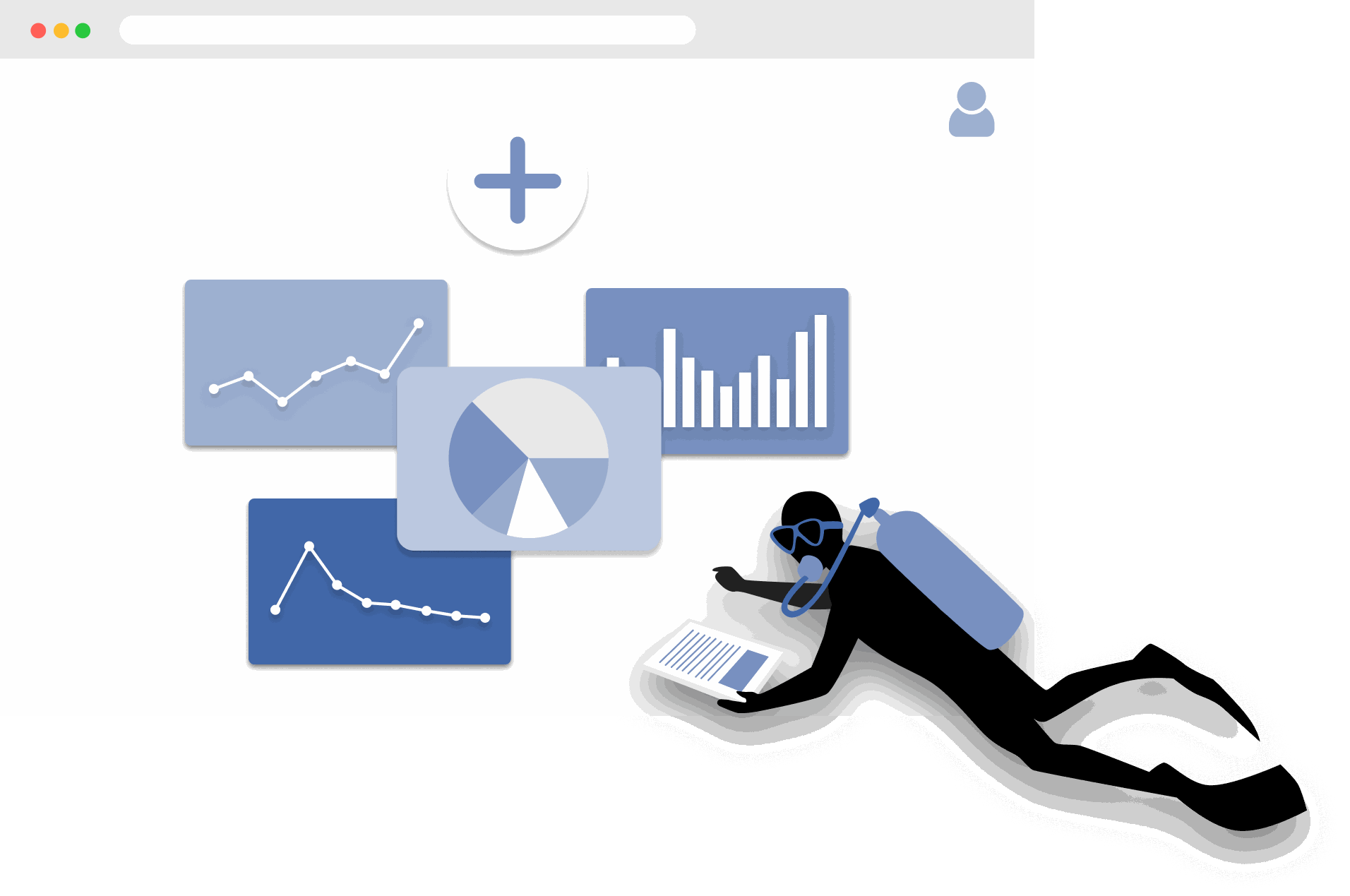
Pagsisimula sa MariMap
platform guides
Ang MariMap ay isang marine conservation platform na nag-uugnay ng projects, sites, surveys, at reports sa iisang workspace. Magsimula sa pagpili ng iyong organization, paggawa ng project, at pagdaragdag ng site boundary para ang mapa, surveys, at Analytics ay naka-ugnay sa tunay na lokasyon. Pagkatapos nito maaari kang magplano ng surveys, mangolekta ng field observations, at suriin ang environmental context sa Analytics. Ipinapakita ng gabay na ito ang mga unang hakbang sa marine monitoring software para maging consistent ang trabaho ng inyong team mula unang araw.
The Complete Guide to Marine Restoration Monitoring
reference guides
Marine restoration monitoring tracks whether restoration interventions are producing measurable ecological outcomes. Key metrics include fragment survival rate, growth rate, coral cover expansion, genetic diversity, and cost-effectiveness. Effective monitoring programs combine field survey methods (transects, quadrats, fragment tracking) with environmental context from satellite data and standardized reporting. This guide covers the full monitoring workflow from metric selection through evidence packaging for funder reporting and additionality claims.
Open Data Sources for Marine Conservation: A Practical Guide
reference guides
Marine conservation projects can access a wide range of open data sources to complement field surveys with environmental context, species records, and spatial analysis. Key sources include CMEMS for ocean conditions, NOAA Coral Reef Watch for thermal stress, Sentinel-2 for satellite imagery, OBIS for species occurrences, WoRMS for taxonomy, and the IUCN Red List for conservation status. MariMap auto-integrates many of these sources at the site level. This guide covers what each source provides, how to access it, and how to combine multiple sources for site-level analysis.
Seagrass Monitoring: Methods, Metrics, and Best Practices
ecosystem guides
Seagrass meadows are critical marine ecosystems that provide carbon sequestration, fisheries habitat, and coastal protection. Monitoring seagrass requires repeatable methods that capture cover, shoot density, canopy height, species composition, and sediment carbon. This comprehensive guide covers the full range of monitoring methodologies (quadrat, transect, remote sensing), key metrics for health and blue carbon assessment, common challenges like turbidity and seasonal variation, and best practices from the scientific literature.
Blue Carbon Field MRV: What Data Do You Actually Need?
reference guides
Blue carbon MRV (Monitoring, Reporting, and Verification) requires specific field data to quantify carbon stocks and stock changes in mangrove, seagrass, and salt marsh ecosystems. The required data depends on the ecosystem type and the carbon credit methodology being followed (VM0033, Plan Vivo, Gold Standard). Core requirements include above-ground biomass measurement, below-ground biomass estimation, soil carbon core sampling, and satellite-derived extent mapping. This guide explains what field data is needed for each ecosystem, how to align with major methodologies, and common failures to avoid.
Coral Reef Monitoring: Methods, Metrics, and Best Practices
ecosystem guides
Coral reef monitoring combines standardized field methods (PIT, LIT, fish belt transect, bleaching assessment, photo quadrat) with environmental data to track reef health over time. Key metrics include coral cover, species richness, fish biomass, rugosity, and bleaching prevalence. This comprehensive guide covers methodology selection, metric interpretation, monitoring program design, common challenges, and best practices drawn from GCRMN, Reef Check, and AGRRA protocols.
Mangrove Monitoring: Methods, Metrics, and Best Practices
ecosystem guides
Mangrove monitoring combines plot-based field surveys (DBH measurement, canopy assessment, soil coring) with remote sensing to track forest condition, carbon stocks, and ecosystem services. Key metrics include tree density, basal area, above-ground biomass, soil carbon, and canopy cover change. This comprehensive guide covers monitoring methodologies, metric interpretation, blue carbon assessment, program design, common challenges, and best practices from Kauffman and Donato protocols and CIFOR methods.
Ecosystem Guides
Pagsubaybay sa Coral Reef sa MariMap
ecosystem guides
Sinusuportahan ng MariMap ang pagsubaybay sa coral reef na may mga benthic transects, fish transects, at benthic image survey. Ang mga pamamaraan ng coral survey na ito ay tumutulong sa mga team na subaybayan ang kondisyon ng reef, coral cover, at mga uso sa komunidad ng isda sa paglipas ng panahon. Ipinapaliwanag ng gabay na ito kung paano piliin ang tamang protocol, i-configure ang mga parameter ng pamamaraan, at ilagay ang data ng pagsubaybay sa coral reef sa MariMap. Ipinapakita rin nito kung paano ikonekta ang mga survey sa konteksto ng heat stress mula sa satellite data.
Pagsubaybay sa Seagrass sa MariMap
ecosystem guides
Sinusuportahan ng MariMap ang pagsubaybay sa seagrass gamit ang mga benthic transects, fish transects, at benthic image survey na na-configure para sa mga site ng seagrass. Ang mga pamamaraang ito ng seagrass survey ay tumutulong sa mga team na subaybayan ang cover ng seagrass, komposisyon ng komunidad, at nauugnay na fauna sa paglipas ng panahon. Ipinapakita ng gabay na ito kung paano mag-set up ng mga plano sa pagsubaybay sa seagrass, maglagay ng data, at magtala ng mga karagdagang sukatan ng seagrass sa mga tala at ulat.
Pagsubaybay sa bakawan sa MariMap
ecosystem guides
Sinusuportahan ng MariMap ang pagsubaybay sa bakawan gamit ang mga survey sa paglago ng puno at mga survey sa pagmamasid sa fauna. Gumamit ng mga survey sa paglago ng puno upang makuha ang DBH, taas, kalusugan, at mga species sa mga plot, at gumamit ng mga obserbasyon ng fauna upang itala ang nauugnay na wildlife sa mga bakawan. Ang gabay na ito ay naglalakbay sa pamamagitan ng pagse-set up ng mga plano sa pagsubaybay sa bakawan, paglalagay ng data, at pagpapanatiling pare-pareho ang mga protocol sa mga team.
Protocol Guides
Benthic Transect Methods: PIT and LIT in MariMap
protocol guides
MariMap supports two standard benthic transect methods for coral reef monitoring: Point Intercept Transect (PIT) and Line Intercept Transect (LIT). Both methods measure benthic cover and substrate composition along fixed transect lines, but they differ in how observations are recorded. PIT records the substrate at fixed intervals along the transect, while LIT measures the continuous length of each substrate category. This guide explains how to configure both methods in MariMap, collect data in MariField, and interpret benthic cover results.
Fish Belt Transect Surveys in MariMap
protocol guides
Fish belt transect surveys in MariMap capture fish abundance, size classes, biomass estimates, and trophic group composition along defined belt transects. The method complements benthic cover data by revealing how fish communities respond to reef condition changes. This guide covers setting up belt transect geometry, recording fish observations in MariField, understanding biomass calculations, and reviewing fish community trends in the MariMap dashboard.
Seagrass Quadrat Survey Methods in MariMap
protocol guides
Seagrass quadrat surveys in MariMap measure cover, shoot density, canopy height, species composition, and sediment characteristics within standardized sampling frames. The method supports three measurement scales for different levels of detail, from rapid assessments to comprehensive blue carbon monitoring. This guide explains how to configure quadrat geometry, record observations in MariField, assess epiphyte load and sediment type, and connect seagrass data to blue carbon estimation.
Platform Guides
Pag-set Up ng Iyong Unang Proyekto at Site
platform guides
Ang mga proyekto sa MariMap ay nag-aayos ng iyong marine conservation work, at ang mga site ay ang mga partikular na lokasyon kung saan mo kinokolekta ang field data. Ipinapakita ng gabay na ito kung paano gumawa ng proyekto na may tamang focus at mga setting ng privacy, pagkatapos ay magdagdag ng site na may tumpak na mga hangganan o coordinate. Makikita mo ang eksaktong mga hakbang ng wizard na ginamit sa MariMap upang manatiling organisado ang iyong koponan mula sa unang araw.
Pagpaplano ng mga Survey at Pagkolekta ng Data
platform guides
Ang pagpaplano ng survey sa MariMap ay nagpapanatiling pare-pareho ang pangongolekta ng data ng dagat sa mga team at site. Gumamit ng mga plano sa survey para tukuyin ang mga protocol, sampling geometry, at mga iskedyul ng pag-ulit bago magsimula ang field work. Pagkatapos ay gumawa ng mga survey mula sa mga planong iyon upang ang iyong mga grid ng data, pamamaraan, at mga yunit ay handa nang maaga. Tinatalakay ng gabay na ito ang daloy ng trabaho sa pagpaplano na ginamit sa MariMap ngayon.
Pag-unawa sa Satellite at Environmental Data sa MariMap
platform guides
Ang MariMap ay nagbibigay ng satellite at environmental data mula sa NOAA Coral Reef Watch at Copernicus Marine Service, kabilang ang temperatura sa ibabaw ng dagat, kaasinan, chlorophyll, pH, mga alon, at mga indicator ng heat stress. Ipinapaliwanag ng gabay na ito kung anong data ang available, kung paano bigyang-kahulugan ang mga chart at mga kategorya ng kundisyon (OK/WATCH/ALERT), at kung paano gamitin ang konteksto ng kapaligiran upang ipaalam ang mga desisyon sa konserbasyon ng dagat. Ang lahat ng data source ay binanggit at naka-link sa MariMap na pahina ng mga sanggunian.
Pagbuo ng Mga Ulat para sa Mga Nagpopondo at Regulator
platform guides
Tinutulungan ka ng tagabuo ng ulat ni MariMap na i-compile ang mga napiling survey, tala, at data sa mga propesyonal na ulat para sa mga nagpopondo, regulator, o kasosyo. Pumili ng mga proyekto at site, i-filter ayon sa status ng survey at hanay ng petsa, at suriin ang preview ng ulat bago ibahagi. Ipinapaliwanag ng gabay na ito kung paano gumawa ng mga ulat, subaybayan ang pag-unlad, at panatilihing pare-pareho ang pag-uulat sa mga yugto ng pagsubaybay.
Pamamahala ng Mga Koponan at Pahintulot
platform guides
Sinusuportahan ng MariMap ang mga proyekto ng maraming organisasyon na may malinaw na mga tungkulin at pahintulot ng koponan. Gamitin ang mga setting ng Organisasyon para mag-imbita ng mga miyembro ng team, magtalaga ng mga tungkulin ng Admin o Miyembro, at pamahalaan ang access sa marine data. Tinatalakay ng gabay na ito ang eksaktong daloy ng trabaho ng Team sa MariMap para manatiling secure at organisado ang iyong pakikipagtulungan.
Data Export Formats in MariMap
platform guides
MariMap supports seven data export formats: Darwin Core Archive (DwC-A), GCRMN, GeoJSON, CSV, Shapefile, PDF, and Excel. Each format serves different audiences and use cases, from publishing biodiversity records to GBIF to sharing formatted reports with funders. This guide explains what each format contains, when to use it, how to export from the report builder, and how to choose the right format for your audience.
Offline Field Surveys with MariField
platform guides
MariField is designed for offline-first data collection in remote marine environments. Survey protocols, species lists, and site data sync to the mobile device before fieldwork, and all observations are stored locally during data collection. When connectivity returns, MariField syncs collected data back to MariMap with validation and conflict resolution. This guide covers preparation, underwater data collection, GPS and depth metadata, photo capture, sync behavior, and tips for remote field deployments.
Pagdidisenyo ng Marine Monitoring Plans
platform guides
Magdisenyo ng mga plano sa pagsubaybay na nagpapanatili sa mga baseline, umuulit na mga survey, at mga output ng pag-uulat na pare-pareho. Nakatuon ang gabay na ito sa cadence, geometry reuse, QA/QC thresholds, at konserbatibong paghawak sa kawalan ng katiyakan.
Compliance & Reporting
TNFD & CSRD Reporting Workflow
compliance reporting
Use MariMap evidence to support Taskforce on Nature-related Financial Disclosures (TNFD), Corporate Sustainability Reporting Directive (CSRD), European Sustainability Reporting Standards (ESRS), and EU Taxonomy reporting. This guide outlines a practical workflow from baselines to disclosure-ready exports.
FPIC at Sovereignty ng Data para sa Mga Proyekto sa Baybayin
compliance reporting
Ang paggalang sa mga karapatan at soberanya ng data ay pundasyon sa marine MRV. Sinasaklaw ng gabay na ito ang FPIC, nakasanayang panunungkulan sa dagat, mga antas ng pagbabahagi ng data, pagbabahagi ng benepisyo, at mga mekanismo ng karaingan sa MariMap.
Reference Guides
Coral Restoration Workflows sa MariMap
reference guides
Sinusuportahan ng MariMap ang mga daloy ng trabaho sa pagpapanumbalik ng coral para sa mga nursery at lab sa pamamagitan ng pagsubaybay sa mga istruktura, genotype, fragment, at mga batch ng outplant. Ang mga pasilidad sa pagpapanumbalik ay naka-set up bilang mga site ng Pasilidad, at ang workspace ng Pagpapanumbalik ay nagbibigay-daan sa mga koponan na magtala ng paglaki, kalusugan, at kahandaan ng outplant sa isang lugar. Ipinapakita ng gabay na ito kung paano i-configure ang pasilidad ng pagpapanumbalik, pamahalaan ang mga fragment, at subaybayan ang mga resulta ng outplanting sa MariMap.