
MariMap
MariMap নির্দেশিকা
MariMap এর মাধ্যমে কীভাবে প্রকল্প সেট আপ করতে হয়, জরিপ পরিকল্পনা, বাসস্থান নিরীক্ষণ এবং ফলাফল রিপোর্ট করতে হয় তা জানুন।
বৈশিষ্ট্যযুক্ত গাইড
বৈশিষ্ট্যযুক্ত নির্দেশিকা দিয়ে শুরু করুন, তারপর নীচের সাইট-নির্দিষ্ট এবং কর্মপ্রবাহ নির্দেশিকাগুলি অন্বেষণ করুন৷
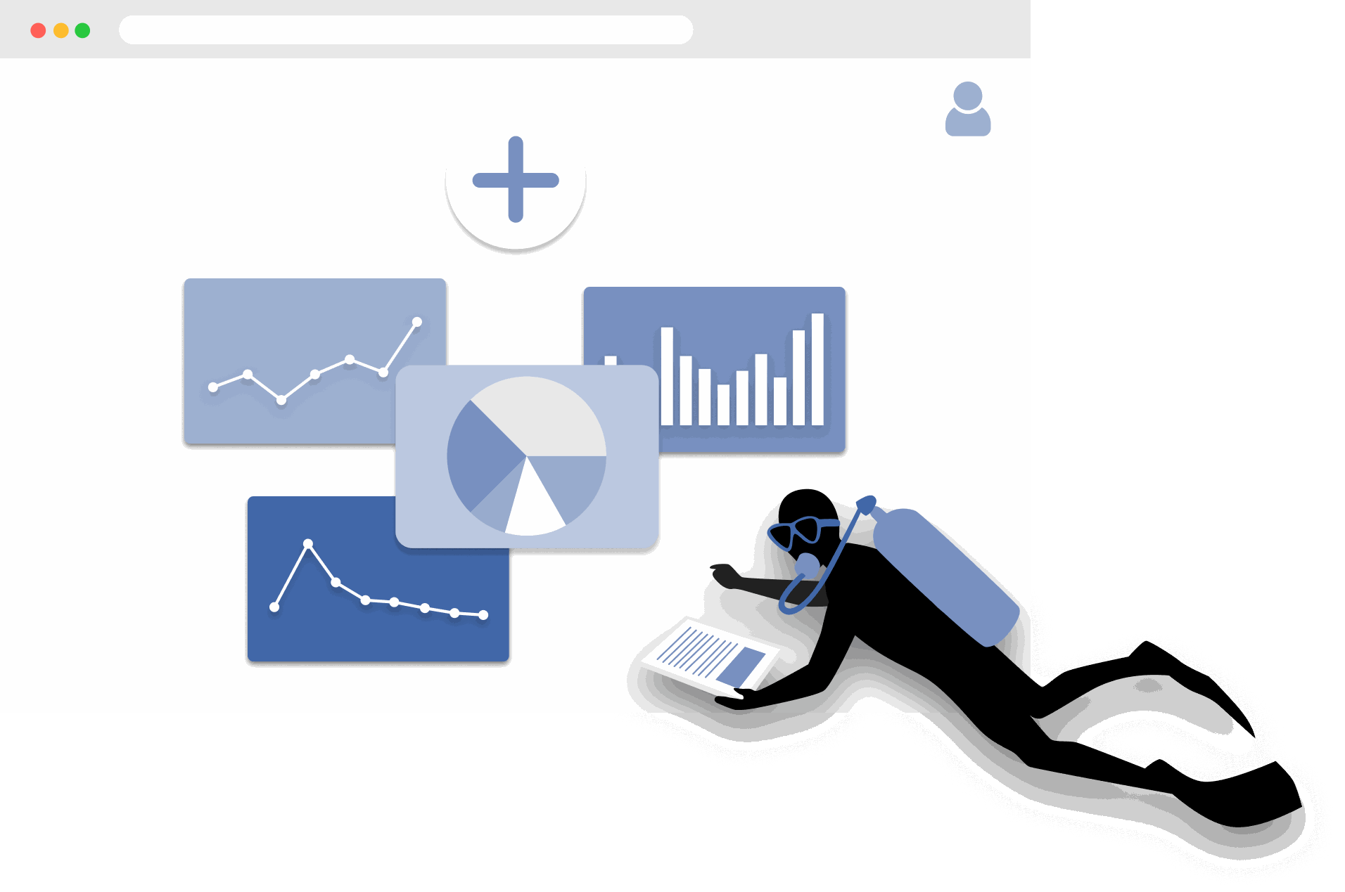
MariMap দিয়ে শুরু করুন
platform guides
MariMap একটি সামুদ্রিক সংরক্ষণ প্ল্যাটফর্ম যা প্রকল্প, সাইট, সার্ভে এবং রিপোর্টিংকে এক জায়গায় যুক্ত করে। প্রথমে আপনার সংস্থা নির্বাচন করুন, একটি প্রকল্প তৈরি করুন, এবং সাইটের সীমানা যোগ করুন যাতে মানচিত্র, সার্ভে এবং অ্যানালিটিক্স বাস্তব লোকেশনের সাথে মিল থাকে। তারপর আপনি সার্ভে পরিকল্পনা করতে, মাঠ পর্যবেক্ষণ সংগ্রহ করতে এবং Analytics-এ পরিবেশগত প্রেক্ষাপট দেখতে পারবেন। এই গাইডটি সামুদ্রিক মনিটরিং সফটওয়্যারের প্রথম ধাপগুলো দেখায় যাতে আপনার টিম প্রথম দিন থেকেই ধারাবাহিকভাবে কাজ করতে পারে।
The Complete Guide to Marine Restoration Monitoring
reference guides
Marine restoration monitoring tracks whether restoration interventions are producing measurable ecological outcomes. Key metrics include fragment survival rate, growth rate, coral cover expansion, genetic diversity, and cost-effectiveness. Effective monitoring programs combine field survey methods (transects, quadrats, fragment tracking) with environmental context from satellite data and standardized reporting. This guide covers the full monitoring workflow from metric selection through evidence packaging for funder reporting and additionality claims.
Open Data Sources for Marine Conservation: A Practical Guide
reference guides
Marine conservation projects can access a wide range of open data sources to complement field surveys with environmental context, species records, and spatial analysis. Key sources include CMEMS for ocean conditions, NOAA Coral Reef Watch for thermal stress, Sentinel-2 for satellite imagery, OBIS for species occurrences, WoRMS for taxonomy, and the IUCN Red List for conservation status. MariMap auto-integrates many of these sources at the site level. This guide covers what each source provides, how to access it, and how to combine multiple sources for site-level analysis.
Seagrass Monitoring: Methods, Metrics, and Best Practices
ecosystem guides
Seagrass meadows are critical marine ecosystems that provide carbon sequestration, fisheries habitat, and coastal protection. Monitoring seagrass requires repeatable methods that capture cover, shoot density, canopy height, species composition, and sediment carbon. This comprehensive guide covers the full range of monitoring methodologies (quadrat, transect, remote sensing), key metrics for health and blue carbon assessment, common challenges like turbidity and seasonal variation, and best practices from the scientific literature.
Blue Carbon Field MRV: What Data Do You Actually Need?
reference guides
Blue carbon MRV (Monitoring, Reporting, and Verification) requires specific field data to quantify carbon stocks and stock changes in mangrove, seagrass, and salt marsh ecosystems. The required data depends on the ecosystem type and the carbon credit methodology being followed (VM0033, Plan Vivo, Gold Standard). Core requirements include above-ground biomass measurement, below-ground biomass estimation, soil carbon core sampling, and satellite-derived extent mapping. This guide explains what field data is needed for each ecosystem, how to align with major methodologies, and common failures to avoid.
Coral Reef Monitoring: Methods, Metrics, and Best Practices
ecosystem guides
Coral reef monitoring combines standardized field methods (PIT, LIT, fish belt transect, bleaching assessment, photo quadrat) with environmental data to track reef health over time. Key metrics include coral cover, species richness, fish biomass, rugosity, and bleaching prevalence. This comprehensive guide covers methodology selection, metric interpretation, monitoring program design, common challenges, and best practices drawn from GCRMN, Reef Check, and AGRRA protocols.
Mangrove Monitoring: Methods, Metrics, and Best Practices
ecosystem guides
Mangrove monitoring combines plot-based field surveys (DBH measurement, canopy assessment, soil coring) with remote sensing to track forest condition, carbon stocks, and ecosystem services. Key metrics include tree density, basal area, above-ground biomass, soil carbon, and canopy cover change. This comprehensive guide covers monitoring methodologies, metric interpretation, blue carbon assessment, program design, common challenges, and best practices from Kauffman and Donato protocols and CIFOR methods.
Ecosystem Guides
MariMap এ প্রবাল প্রাচীর পর্যবেক্ষণ
ecosystem guides
MariMap বেন্থিক ট্রান্সেক্ট, ফিশ ট্রানসেক্ট, এবং বেন্থিক ইমেজ সার্ভে সহ প্রবাল প্রাচীর পর্যবেক্ষণ সমর্থন করে। এই প্রবাল জরিপ পদ্ধতিগুলি দলগুলিকে রিফের অবস্থা, প্রবাল আবরণ এবং মাছের সম্প্রদায়ের প্রবণতাকে সময়ের সাথে ট্র্যাক করতে সহায়তা করে। এই নির্দেশিকাটি ব্যাখ্যা করে কিভাবে সঠিক প্রোটোকল নির্বাচন করতে হয়, পদ্ধতির পরামিতিগুলি কনফিগার করতে হয় এবং MariMap এ প্রবাল প্রাচীর পর্যবেক্ষণ ডেটা প্রবেশ করতে হয়। এটি স্যাটেলাইট ডেটা থেকে তাপ চাপের প্রসঙ্গে সমীক্ষাগুলিকে কীভাবে সংযুক্ত করতে হয় তাও দেখায়।
MariMap এ সিগ্রাস মনিটরিং
ecosystem guides
MariMap সীগ্রাস সাইটগুলির জন্য কনফিগার করা বেন্থিক ট্রান্সেক্ট, ফিশ ট্রানসেক্ট এবং বেন্থিক ইমেজ সার্ভে ব্যবহার করে সিগ্রাস পর্যবেক্ষণ সমর্থন করে। এই সীগ্রাস জরিপ পদ্ধতিগুলি দলগুলিকে সময়ের সাথে সাথে সমুদ্রের ঘাসের কভার, সম্প্রদায়ের গঠন এবং সংশ্লিষ্ট প্রাণীজগত ট্র্যাক করতে সহায়তা করে। এই নির্দেশিকাটি দেখায় কিভাবে সীগ্রাস মনিটরিং প্ল্যান সেট আপ করতে হয়, ডেটা এন্টার করতে হয় এবং নোট এবং রিপোর্টে অতিরিক্ত সিগ্রাস মেট্রিক্স রেকর্ড করতে হয়।
MariMap এ ম্যানগ্রোভ মনিটরিং
ecosystem guides
MariMap বৃক্ষ বৃদ্ধি সমীক্ষা এবং প্রাণীজগত পর্যবেক্ষণ সমীক্ষার সাথে ম্যানগ্রোভ পর্যবেক্ষণকে সমর্থন করে। প্লট জুড়ে DBH, উচ্চতা, স্বাস্থ্য এবং প্রজাতিগুলি ক্যাপচার করতে গাছের বৃদ্ধির সমীক্ষা ব্যবহার করুন এবং ম্যানগ্রোভ সাইটে সম্পর্কিত বন্যপ্রাণী রেকর্ড করতে প্রাণীজগতের পর্যবেক্ষণ ব্যবহার করুন। এই গাইড ম্যানগ্রোভ মনিটরিং প্ল্যান সেট আপ করা, ডেটা প্রবেশ করানো এবং দলগুলির মধ্যে প্রোটোকলগুলিকে সামঞ্জস্যপূর্ণ রাখার মাধ্যমে চলে।
Protocol Guides
Benthic Transect Methods: PIT and LIT in MariMap
protocol guides
MariMap supports two standard benthic transect methods for coral reef monitoring: Point Intercept Transect (PIT) and Line Intercept Transect (LIT). Both methods measure benthic cover and substrate composition along fixed transect lines, but they differ in how observations are recorded. PIT records the substrate at fixed intervals along the transect, while LIT measures the continuous length of each substrate category. This guide explains how to configure both methods in MariMap, collect data in MariField, and interpret benthic cover results.
Fish Belt Transect Surveys in MariMap
protocol guides
Fish belt transect surveys in MariMap capture fish abundance, size classes, biomass estimates, and trophic group composition along defined belt transects. The method complements benthic cover data by revealing how fish communities respond to reef condition changes. This guide covers setting up belt transect geometry, recording fish observations in MariField, understanding biomass calculations, and reviewing fish community trends in the MariMap dashboard.
Seagrass Quadrat Survey Methods in MariMap
protocol guides
Seagrass quadrat surveys in MariMap measure cover, shoot density, canopy height, species composition, and sediment characteristics within standardized sampling frames. The method supports three measurement scales for different levels of detail, from rapid assessments to comprehensive blue carbon monitoring. This guide explains how to configure quadrat geometry, record observations in MariField, assess epiphyte load and sediment type, and connect seagrass data to blue carbon estimation.
Platform Guides
আপনার প্রথম প্রকল্প এবং সাইট সেট আপ করা
platform guides
MariMap এর প্রকল্পগুলি আপনার সামুদ্রিক সংরক্ষণের কাজকে সংগঠিত করে, এবং সাইটগুলি হল নির্দিষ্ট অবস্থান যেখানে আপনি ফিল্ড ডেটা সংগ্রহ করেন৷ এই নির্দেশিকাটি দেখায় কিভাবে সঠিক ফোকাস এবং গোপনীয়তা সেটিংস সহ একটি প্রকল্প তৈরি করতে হয়, তারপর সঠিক সীমানা বা স্থানাঙ্ক সহ একটি সাইট যুক্ত করুন৷ আপনি MariMap এ ব্যবহৃত সঠিক উইজার্ড পদক্ষেপগুলি দেখতে পাবেন যাতে আপনার দল প্রথম দিন থেকে সংগঠিত থাকে।
পরিকল্পনা জরিপ এবং তথ্য সংগ্রহ
platform guides
MariMap-এ সমীক্ষা পরিকল্পনা দল এবং সাইট জুড়ে সামুদ্রিক ডেটা সংগ্রহকে সামঞ্জস্যপূর্ণ রাখে। ক্ষেত্রের কাজ শুরু করার আগে প্রোটোকল, নমুনা জ্যামিতি এবং পুনরাবৃত্তির সময়সূচী সংজ্ঞায়িত করতে সমীক্ষা পরিকল্পনা ব্যবহার করুন। তারপর সেই প্ল্যানগুলি থেকে সমীক্ষা তৈরি করুন যাতে আপনার ডেটা গ্রিড, পদ্ধতি এবং ইউনিটগুলি আগে থেকেই প্রস্তুত থাকে৷ এই নির্দেশিকাটি আজ MariMap এ ব্যবহৃত পরিকল্পনা কর্মপ্রবাহের মধ্য দিয়ে চলে।
MariMap‑এ স্যাটেলাইট ও পরিবেশগত ডেটা বোঝা
platform guides
MariMap NOAA Coral Reef Watch এবং Copernicus Marine Service থেকে স্যাটেলাইট ও পরিবেশগত ডেটা দেয়—যার মধ্যে sea surface temperature, salinity, chlorophyll, pH, currents এবং heat stress indicators রয়েছে। এই গাইডে কোন ডেটা পাওয়া যায়, চার্ট ও condition categories কীভাবে বোঝা যায়, এবং সামুদ্রিক সংরক্ষণ সিদ্ধান্তে পরিবেশগত প্রেক্ষিত কীভাবে কাজে লাগে তা ব্যাখ্যা করা হয়েছে। সব ডেটা সোর্স MariMap references পেজে উদ্ধৃত ও লিঙ্ক করা আছে।
তহবিল এবং নিয়ন্ত্রকদের জন্য প্রতিবেদন তৈরি করা
platform guides
MariMap এর রিপোর্ট নির্মাতা আপনাকে তহবিল, নিয়ন্ত্রক বা অংশীদারদের জন্য পেশাদার প্রতিবেদনে নির্বাচিত সমীক্ষা, নোট এবং ডেটা কম্পাইল করতে সহায়তা করে। প্রকল্প এবং সাইট চয়ন করুন, সমীক্ষার স্থিতি এবং তারিখের পরিসর দ্বারা ফিল্টার করুন এবং ভাগ করার আগে প্রতিবেদনের পূর্বরূপ পর্যালোচনা করুন। এই নির্দেশিকা ব্যাখ্যা করে কিভাবে রিপোর্ট তৈরি করতে হয়, অগ্রগতি ট্র্যাক করতে হয় এবং পর্যবেক্ষণ চক্র জুড়ে রিপোর্টিংকে সামঞ্জস্যপূর্ণ রাখতে হয়।
দল এবং অনুমতি ব্যবস্থাপনা
platform guides
MariMap স্পষ্ট দলের ভূমিকা এবং অনুমতি সহ বহু-সংগঠন প্রকল্প সমর্থন করে। দলের সদস্যদের আমন্ত্রণ জানাতে, প্রশাসক বা সদস্যের ভূমিকা নির্ধারণ করতে এবং সামুদ্রিক ডেটাতে অ্যাক্সেস পরিচালনা করতে সংস্থা সেটিংস ব্যবহার করুন। এই নির্দেশিকাটি MariMap এ সঠিক টিম ওয়ার্কফ্লো দিয়ে চলে যাতে আপনার সহযোগিতা সুরক্ষিত এবং সংগঠিত থাকে।
Data Export Formats in MariMap
platform guides
MariMap supports seven data export formats: Darwin Core Archive (DwC-A), GCRMN, GeoJSON, CSV, Shapefile, PDF, and Excel. Each format serves different audiences and use cases, from publishing biodiversity records to GBIF to sharing formatted reports with funders. This guide explains what each format contains, when to use it, how to export from the report builder, and how to choose the right format for your audience.
Offline Field Surveys with MariField
platform guides
MariField is designed for offline-first data collection in remote marine environments. Survey protocols, species lists, and site data sync to the mobile device before fieldwork, and all observations are stored locally during data collection. When connectivity returns, MariField syncs collected data back to MariMap with validation and conflict resolution. This guide covers preparation, underwater data collection, GPS and depth metadata, photo capture, sync behavior, and tips for remote field deployments.
Compliance & Reporting
TNFD & CSRD Reporting Workflow
compliance reporting
Use MariMap evidence to support Taskforce on Nature-related Financial Disclosures (TNFD), Corporate Sustainability Reporting Directive (CSRD), European Sustainability Reporting Standards (ESRS), and EU Taxonomy reporting. This guide outlines a practical workflow from baselines to disclosure-ready exports.
Reference Guides
MariMap এ প্রবাল পুনরুদ্ধার কার্যপ্রবাহ
reference guides
MariMap স্ট্রাকচার, জিনোটাইপ, টুকরো এবং আউটপ্লান্ট ব্যাচ ট্র্যাকিং করে নার্সারি এবং ল্যাবের জন্য প্রবাল পুনরুদ্ধার কার্যপ্রবাহ সমর্থন করে। পুনরুদ্ধারের সুবিধাগুলি সুবিধা সাইট হিসাবে সেট আপ করা হয়েছে, এবং পুনরুদ্ধার কর্মক্ষেত্র দলগুলিকে এক জায়গায় বৃদ্ধি, স্বাস্থ্য এবং আউটপ্লান্ট প্রস্তুতির লগ করতে দেয়৷ এই নির্দেশিকাটি দেখায় কিভাবে একটি পুনরুদ্ধার সুবিধা কনফিগার করতে হয়, টুকরোগুলি পরিচালনা করতে হয় এবং MariMap এ আউটপ্লান্টিং ফলাফলগুলি ট্র্যাক করতে হয়।