
MariMap
MariMap أدلة
تعرف على كيفية إعداد المشاريع وتخطيط المسوحات ومراقبة الموائل والإبلاغ عن النتائج باستخدام MariMap.
أدلة مميزة
ابدأ بالدليل المميز، ثم استكشف الأدلة الخاصة بالموقع وأدلة سير العمل أدناه.
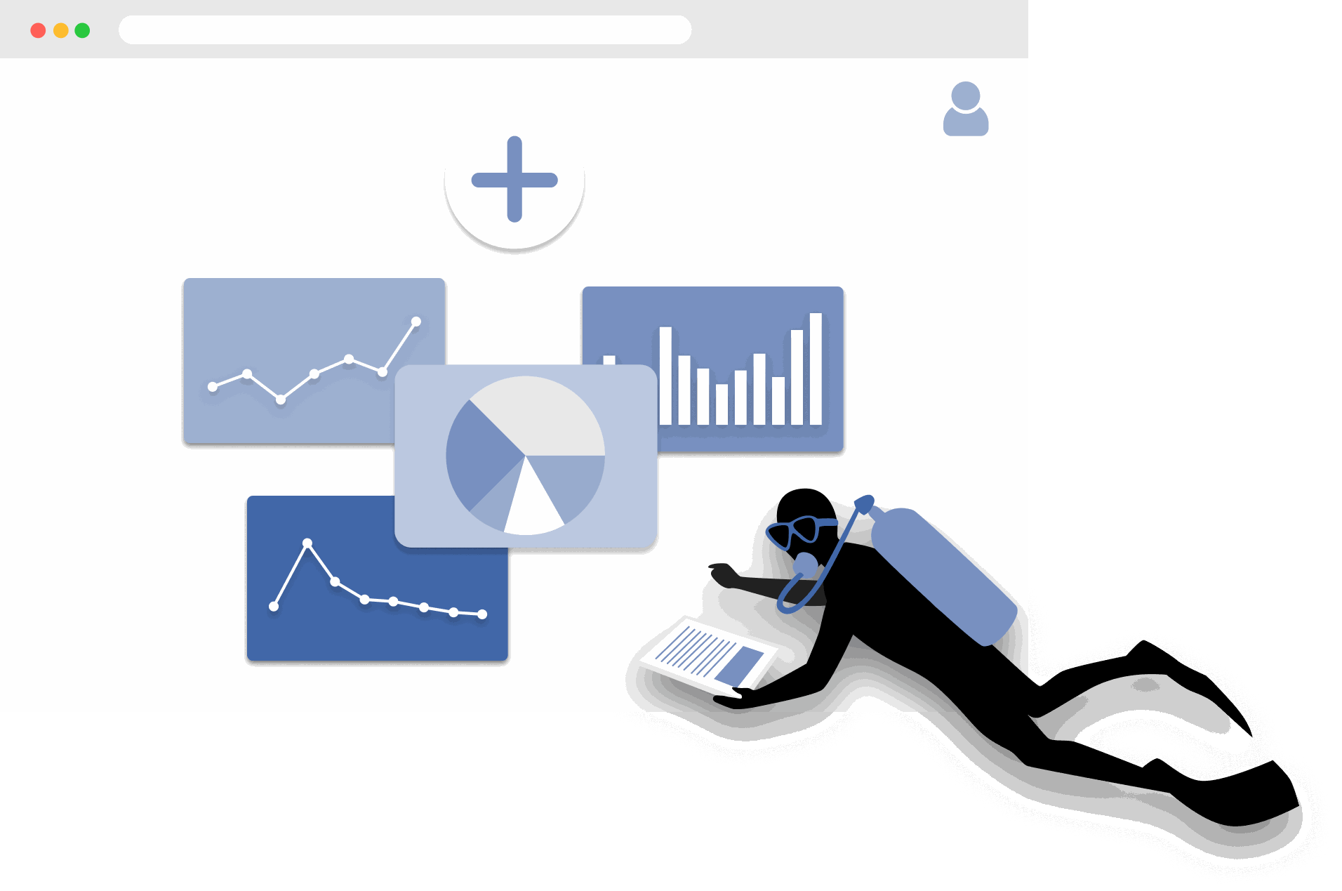
الشروع في العمل مع MariMap
platform guides
MariMap عبارة عن منصة للحفاظ على الحياة البحرية تربط المشاريع والمواقع والمسوحات وإعداد التقارير في مساحة عمل واحدة. ابدأ بتحديد مؤسستك، وإنشاء مشروع، وإضافة حدود الموقع بحيث تشير الخريطة والاستطلاعات والتحليلات جميعها إلى أماكن حقيقية. ومن هناك، يمكنك التخطيط للاستطلاعات وجمع الملاحظات الميدانية ومراجعة السياق البيئي في Analytics. يشرح هذا الدليل الخطوات الأولى في برنامج المراقبة البحرية حتى يتمكن فريقك من العمل بشكل متسق منذ اليوم الأول.
The Complete Guide to Marine Restoration Monitoring
reference guides
Marine restoration monitoring tracks whether restoration interventions are producing measurable ecological outcomes. Key metrics include fragment survival rate, growth rate, coral cover expansion, genetic diversity, and cost-effectiveness. Effective monitoring programs combine field survey methods (transects, quadrats, fragment tracking) with environmental context from satellite data and standardized reporting. This guide covers the full monitoring workflow from metric selection through evidence packaging for funder reporting and additionality claims.
Open Data Sources for Marine Conservation: A Practical Guide
reference guides
Marine conservation projects can access a wide range of open data sources to complement field surveys with environmental context, species records, and spatial analysis. Key sources include CMEMS for ocean conditions, NOAA Coral Reef Watch for thermal stress, Sentinel-2 for satellite imagery, OBIS for species occurrences, WoRMS for taxonomy, and the IUCN Red List for conservation status. MariMap auto-integrates many of these sources at the site level. This guide covers what each source provides, how to access it, and how to combine multiple sources for site-level analysis.
Seagrass Monitoring: Methods, Metrics, and Best Practices
ecosystem guides
Seagrass meadows are critical marine ecosystems that provide carbon sequestration, fisheries habitat, and coastal protection. Monitoring seagrass requires repeatable methods that capture cover, shoot density, canopy height, species composition, and sediment carbon. This comprehensive guide covers the full range of monitoring methodologies (quadrat, transect, remote sensing), key metrics for health and blue carbon assessment, common challenges like turbidity and seasonal variation, and best practices from the scientific literature.
Blue Carbon Field MRV: What Data Do You Actually Need?
reference guides
Blue carbon MRV (Monitoring, Reporting, and Verification) requires specific field data to quantify carbon stocks and stock changes in mangrove, seagrass, and salt marsh ecosystems. The required data depends on the ecosystem type and the carbon credit methodology being followed (VM0033, Plan Vivo, Gold Standard). Core requirements include above-ground biomass measurement, below-ground biomass estimation, soil carbon core sampling, and satellite-derived extent mapping. This guide explains what field data is needed for each ecosystem, how to align with major methodologies, and common failures to avoid.
Coral Reef Monitoring: Methods, Metrics, and Best Practices
ecosystem guides
Coral reef monitoring combines standardized field methods (PIT, LIT, fish belt transect, bleaching assessment, photo quadrat) with environmental data to track reef health over time. Key metrics include coral cover, species richness, fish biomass, rugosity, and bleaching prevalence. This comprehensive guide covers methodology selection, metric interpretation, monitoring program design, common challenges, and best practices drawn from GCRMN, Reef Check, and AGRRA protocols.
Mangrove Monitoring: Methods, Metrics, and Best Practices
ecosystem guides
Mangrove monitoring combines plot-based field surveys (DBH measurement, canopy assessment, soil coring) with remote sensing to track forest condition, carbon stocks, and ecosystem services. Key metrics include tree density, basal area, above-ground biomass, soil carbon, and canopy cover change. This comprehensive guide covers monitoring methodologies, metric interpretation, blue carbon assessment, program design, common challenges, and best practices from Kauffman and Donato protocols and CIFOR methods.
Ecosystem Guides
مراقبة الشعاب المرجانية في MariMap
ecosystem guides
يدعم MariMap مراقبة الشعاب المرجانية من خلال المقاطع القاعية، ومقاطع الأسماك، ومسوحات الصور القاعية. تساعد طرق مسح المرجان هذه الفرق على تتبع حالة الشعاب المرجانية والغطاء المرجاني واتجاهات مجتمع الأسماك مع مرور الوقت. يشرح هذا الدليل كيفية اختيار البروتوكول الصحيح، وتكوين معلمات الطريقة، وإدخال بيانات مراقبة الشعاب المرجانية في MariMap. ويوضح أيضًا كيفية ربط المسوحات بسياق الإجهاد الحراري من بيانات الأقمار الصناعية.
مراقبة الأعشاب البحرية في MariMap
ecosystem guides
يدعم MariMap مراقبة الأعشاب البحرية باستخدام المقاطع القاعية، ومقاطع الأسماك، ومسوحات الصور القاعية التي تم تكوينها لمواقع الأعشاب البحرية. تساعد طرق مسح الأعشاب البحرية هذه الفرق على تتبع غطاء الأعشاب البحرية وتكوين الموائل والحيوانات المرتبطة بها بمرور الوقت. يوضح هذا الدليل كيفية إعداد خطط مراقبة الأعشاب البحرية، وإدخال البيانات، والحفاظ على اتساق المراقبة عبر المواسم.
مراقبة أشجار المنغروف في MariMap
ecosystem guides
يدعم MariMap مراقبة أشجار المنغروف من خلال مسوحات نمو الأشجار ومسوحات مراقبة الحيوانات. استخدم مسوحات نمو الأشجار لالتقاط DBH والطول والصحة والأنواع عبر قطع الأراضي، واستخدم ملاحظات الحيوانات لتسجيل الحياة البرية المرتبطة بها في مواقع أشجار المانغروف. يتناول هذا الدليل كيفية إعداد خطط مراقبة أشجار المانجروف، وإدخال البيانات، والحفاظ على اتساق البروتوكولات عبر الفرق.
Protocol Guides
Benthic Transect Methods: PIT and LIT in MariMap
protocol guides
MariMap supports two standard benthic transect methods for coral reef monitoring: Point Intercept Transect (PIT) and Line Intercept Transect (LIT). Both methods measure benthic cover and substrate composition along fixed transect lines, but they differ in how observations are recorded. PIT records the substrate at fixed intervals along the transect, while LIT measures the continuous length of each substrate category. This guide explains how to configure both methods in MariMap, collect data in MariField, and interpret benthic cover results.
Fish Belt Transect Surveys in MariMap
protocol guides
Fish belt transect surveys in MariMap capture fish abundance, size classes, biomass estimates, and trophic group composition along defined belt transects. The method complements benthic cover data by revealing how fish communities respond to reef condition changes. This guide covers setting up belt transect geometry, recording fish observations in MariField, understanding biomass calculations, and reviewing fish community trends in the MariMap dashboard.
Seagrass Quadrat Survey Methods in MariMap
protocol guides
Seagrass quadrat surveys in MariMap measure cover, shoot density, canopy height, species composition, and sediment characteristics within standardized sampling frames. The method supports three measurement scales for different levels of detail, from rapid assessments to comprehensive blue carbon monitoring. This guide explains how to configure quadrat geometry, record observations in MariField, assess epiphyte load and sediment type, and connect seagrass data to blue carbon estimation.
Platform Guides
إعداد مشروعك وموقعك الأول
platform guides
تنظم المشاريع في MariMap أعمال الحفاظ على البيئة البحرية، بينما تحدد المواقع المواقع الدقيقة التي تتم فيها عمليات المسح. يوضح هذا الدليل كيفية إنشاء مشروع بالتركيز الصحيح وإعدادات الخصوصية، ثم إضافة موقع بحدود أو إحداثيات دقيقة. ستشاهد خطوات المعالج الدقيقة المستخدمة في MariMap حتى يظل فريقك منظمًا من اليوم الأول وتظل إدارة مشروع الحفاظ على البيئة البحرية متسقة عبر المواقع.
تخطيط المسوحات وجمع البيانات
platform guides
يحافظ تخطيط المسح في MariMap على اتساق جمع البيانات البحرية عبر الفرق والمواقع. استخدم خطط المسح لتحديد البروتوكولات وهندسة أخذ العينات وجداول التكرار قبل بدء العمل الميداني. ثم قم بإنشاء استطلاعات من تلك الخطط بحيث تكون شبكات البيانات والأساليب والوحدات الخاصة بك جاهزة مسبقًا. يستعرض هذا الدليل سير عمل التخطيط المستخدم في MariMap اليوم.
فهم البيانات الفضائية والبيئية في MariMap
platform guides
توفر MariMap بيانات الأقمار الصناعية والبيئية من NOAA Coral Reef Watch وCopernicus Marine Service، بما في ذلك درجة حرارة سطح البحر والملوحة والكلوروفيل ودرجة الحموضة والتيارات ومؤشرات الإجهاد الحراري. يشرح هذا الدليل البيانات المتاحة، وكيفية تفسير المخططات وفئات الحالة (OK/WATCH/ALERT)، وكيفية استخدام السياق البيئي لإرشاد قرارات الحفاظ على الحياة البحرية. يتم الاستشهاد بجميع مصادر البيانات وربطها بصفحة مراجع MariMap.
إنشاء تقارير للممولين والمنظمين
platform guides
يساعدك منشئ التقارير في MariMap على تجميع الاستطلاعات والملاحظات والبيانات المحددة في تقارير احترافية للممولين أو المنظمين أو الشركاء. اختر المشاريع والمواقع، وقم بالتصفية حسب حالة الاستطلاع ونطاق التاريخ، وراجع معاينة التقرير قبل المشاركة. يشرح هذا الدليل كيفية إنشاء التقارير وتتبع التقدم والحفاظ على اتساق التقارير عبر دورات المراقبة.
إدارة الفرق والأذونات
platform guides
يدعم MariMap المشاريع متعددة المؤسسات بأدوار وأذونات واضحة للفريق. استخدم إعدادات المؤسسة لدعوة أعضاء الفريق، وتعيين أدوار المسؤول أو الأعضاء، وإدارة الوصول إلى البيانات البحرية. يستعرض هذا الدليل سير عمل الفريق في MariMap بحيث يظل التعاون آمنًا ومنظمًا وجاهزًا للتدقيق.
Data Export Formats in MariMap
platform guides
MariMap supports seven data export formats: Darwin Core Archive (DwC-A), GCRMN, GeoJSON, CSV, Shapefile, PDF, and Excel. Each format serves different audiences and use cases, from publishing biodiversity records to GBIF to sharing formatted reports with funders. This guide explains what each format contains, when to use it, how to export from the report builder, and how to choose the right format for your audience.
Offline Field Surveys with MariField
platform guides
MariField is designed for offline-first data collection in remote marine environments. Survey protocols, species lists, and site data sync to the mobile device before fieldwork, and all observations are stored locally during data collection. When connectivity returns, MariField syncs collected data back to MariMap with validation and conflict resolution. This guide covers preparation, underwater data collection, GPS and depth metadata, photo capture, sync behavior, and tips for remote field deployments.
Compliance & Reporting
TNFD & CSRD Reporting Workflow
compliance reporting
Use MariMap evidence to support Taskforce on Nature-related Financial Disclosures (TNFD), Corporate Sustainability Reporting Directive (CSRD), European Sustainability Reporting Standards (ESRS), and EU Taxonomy reporting. This guide outlines a practical workflow from baselines to disclosure-ready exports.
Reference Guides
سير عمل ترميم المرجان في MariMap
reference guides
يدعم MariMap سير عمل ترميم المرجان في دور الحضانة والمختبرات من خلال تتبع الهياكل والأنماط الجينية والأجزاء ودفعات النباتات الخارجية. يتم إعداد منشآت الاستعادة كمواقع منشآت، وتتيح مساحة عمل الاستعادة للفرق تسجيل النمو والصحة واستعداد المصنع الخارجي في مكان واحد. يوضح هذا الدليل كيفية تكوين منشأة استعادة وإدارة الأجزاء وتتبع نتائج الزرع في MariMap.